I’m posting this a day late from the comfort of home in Dummerston.
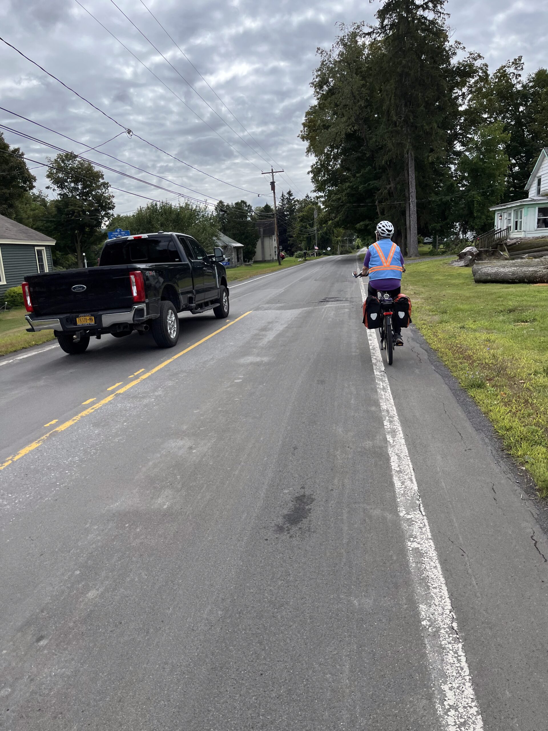
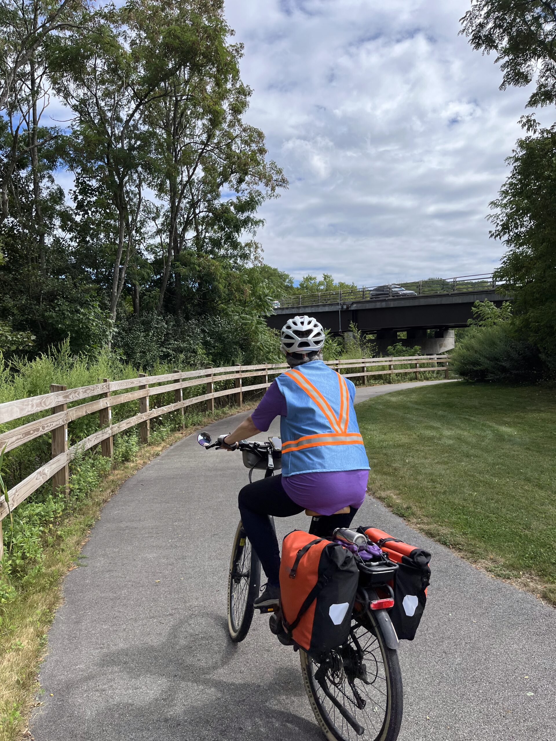
Weather was perfect for the last day of our ride. We did alter our plans though. Jerelyn had been tuckered out the previous days, even on Thursday (Fort Plain to Amsterdam—our shortest day), so I suggested a change in plans.
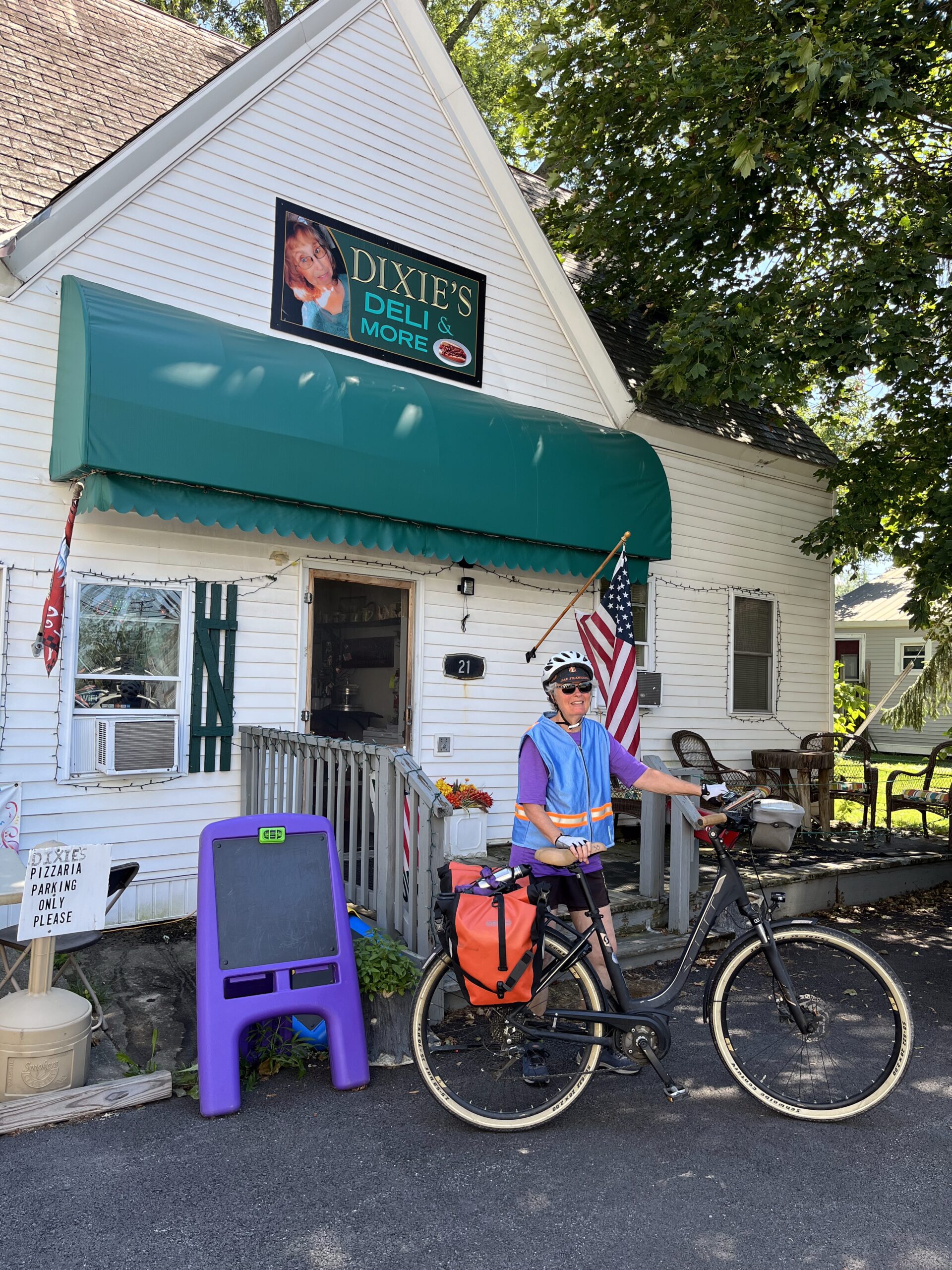
Rather than riding together, as we had been since Pittsford, I would leave earlier and speed along solo, getting to the car at the Albany-Rensselaer Train Station, then drive back to wherever Jerelyn got to on her bike: probably Schnectady. That was a perfect and welcomed plan. I completed the 51-mile ride by 1:30 (before lunch), and Jerelyn was very happy with a more relaxed ride to Schnectady, having stopped for breakfast between Amsterdam and Schnectady.
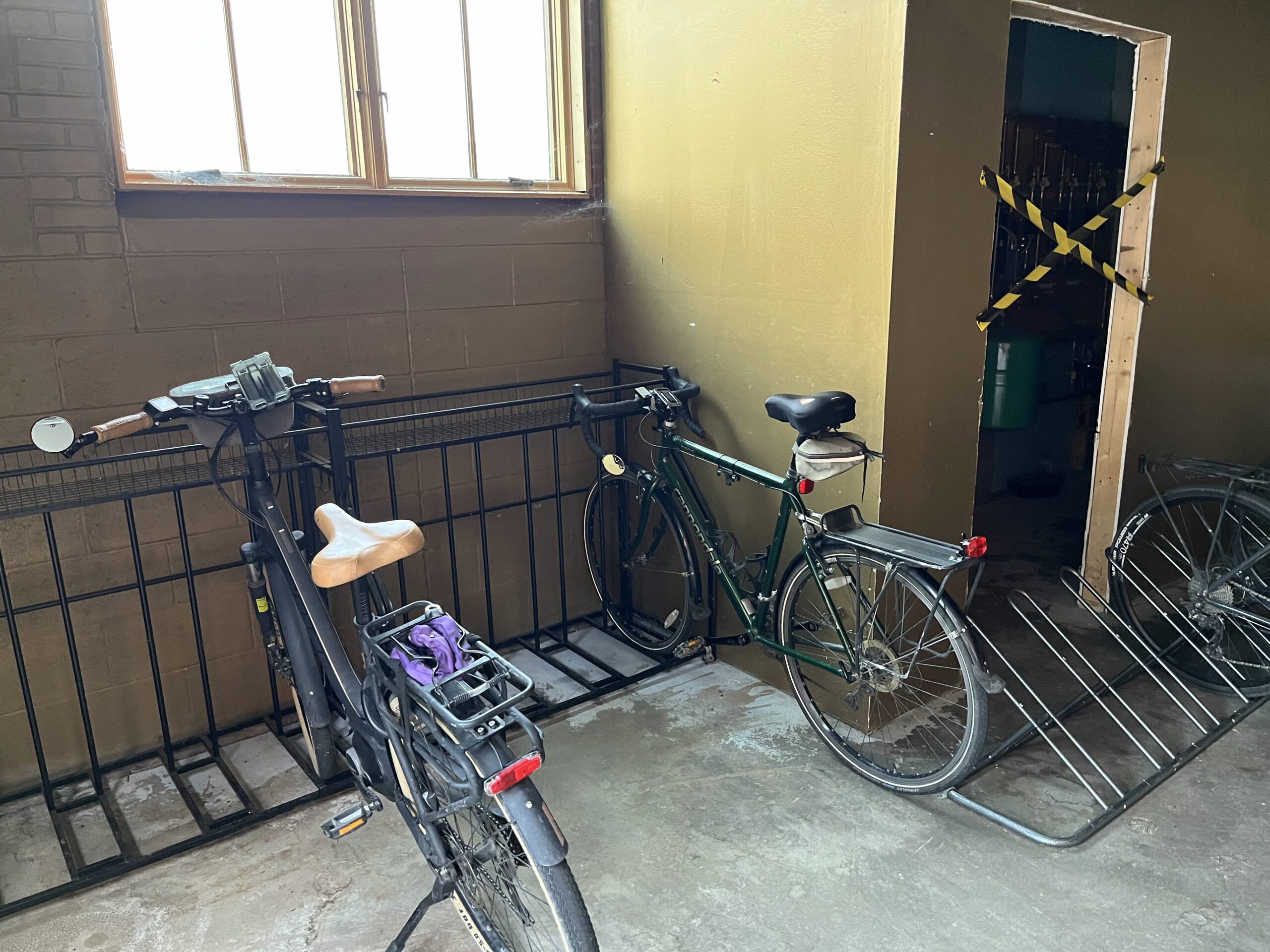
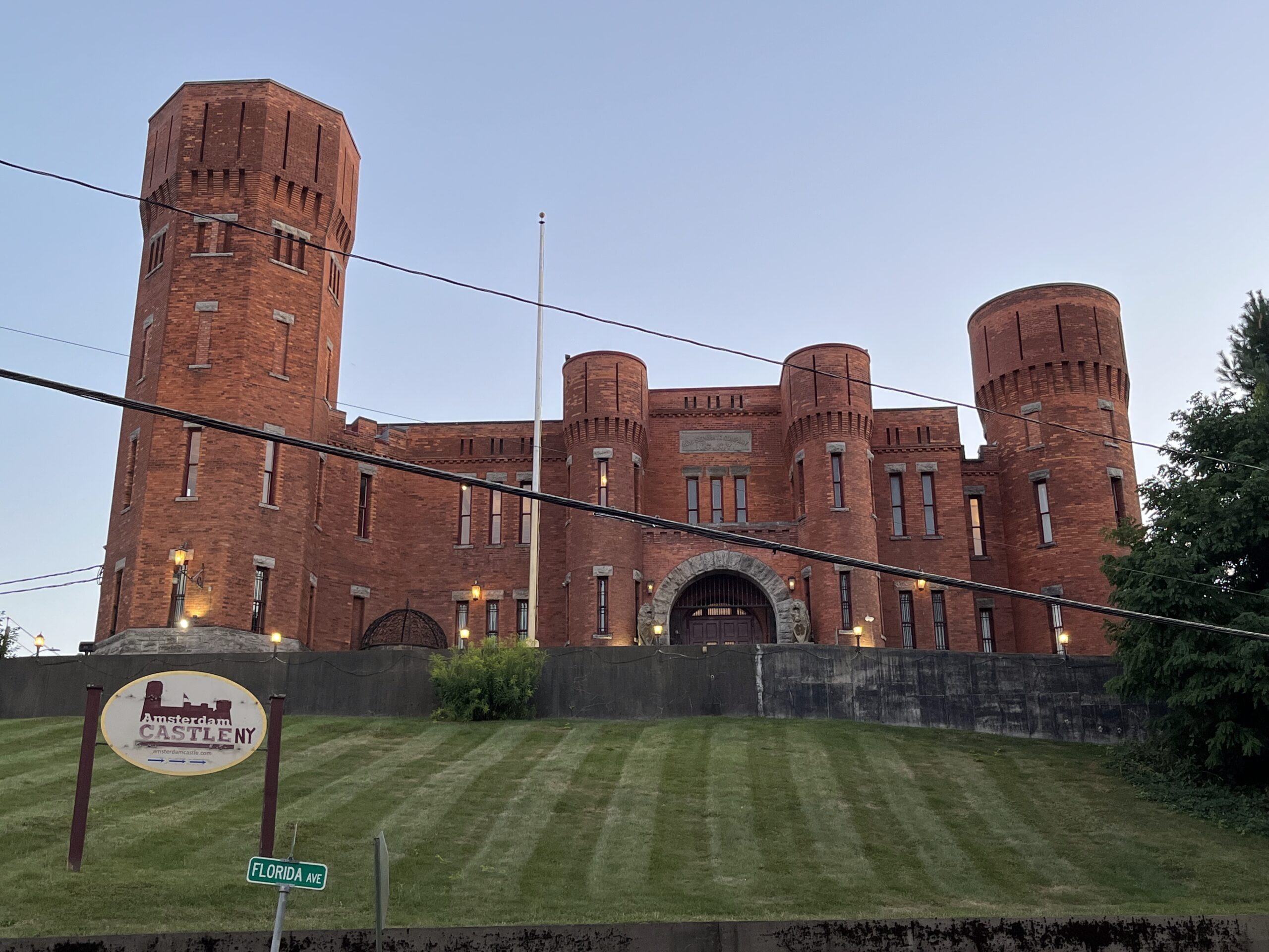
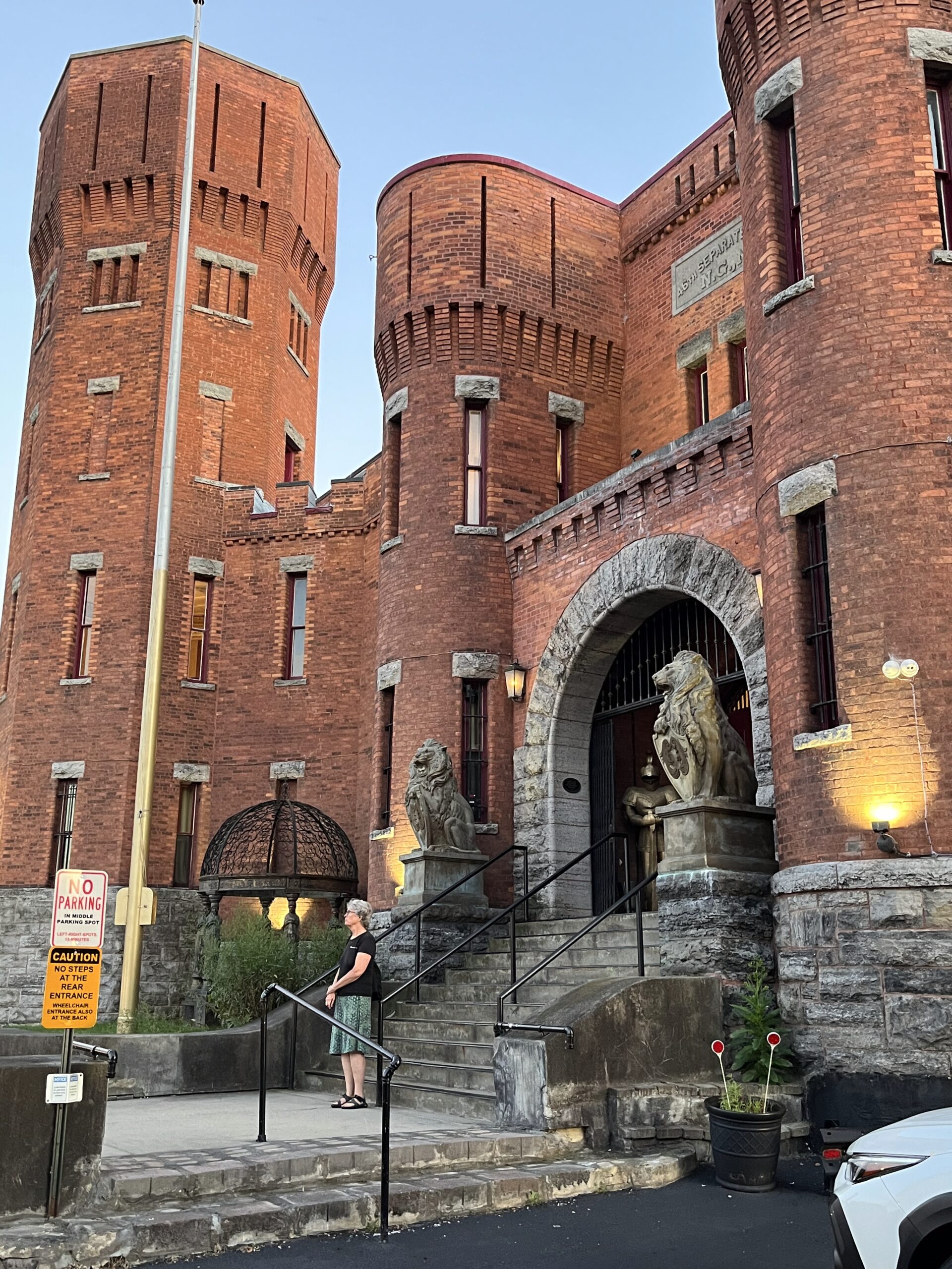
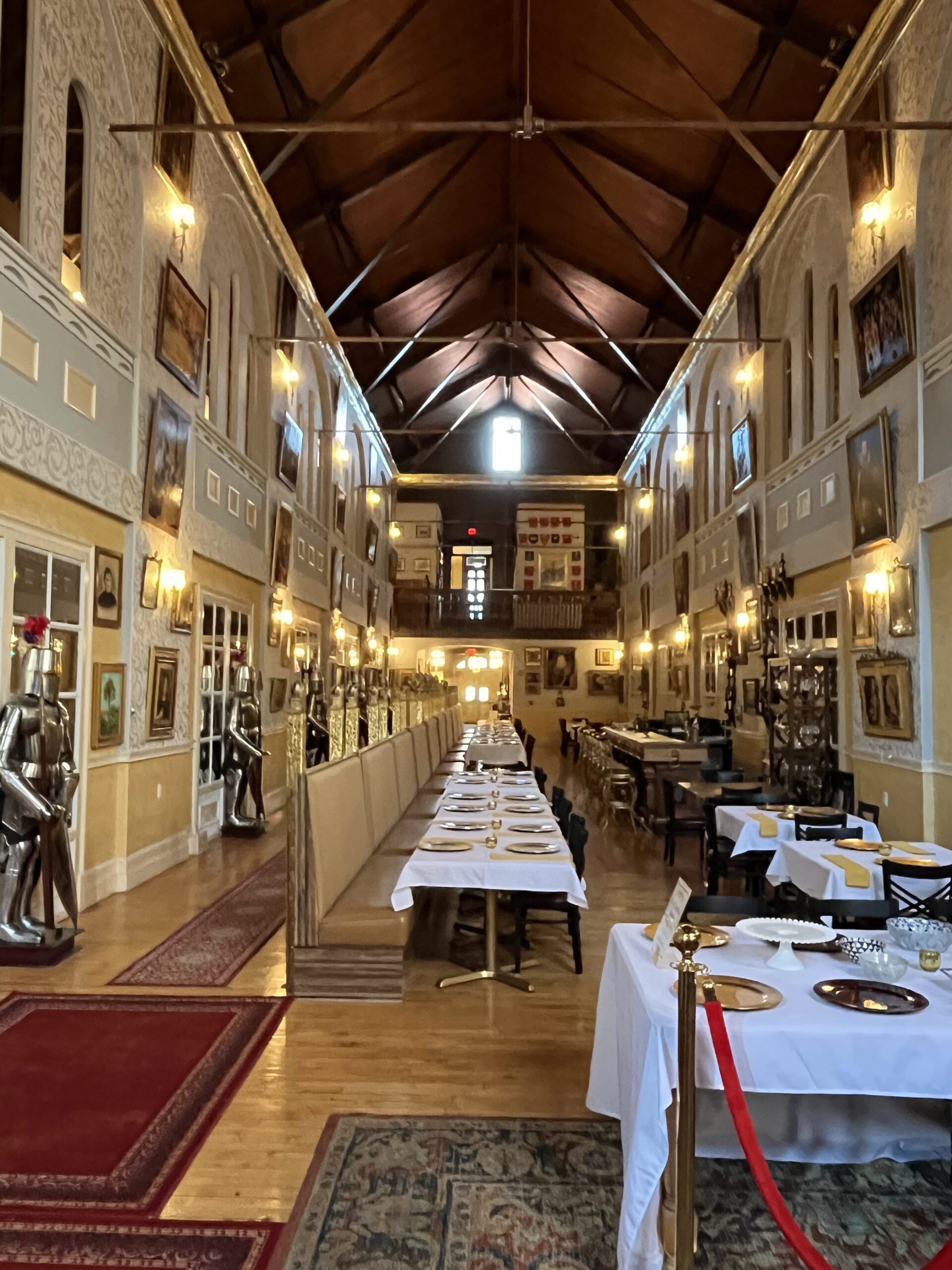
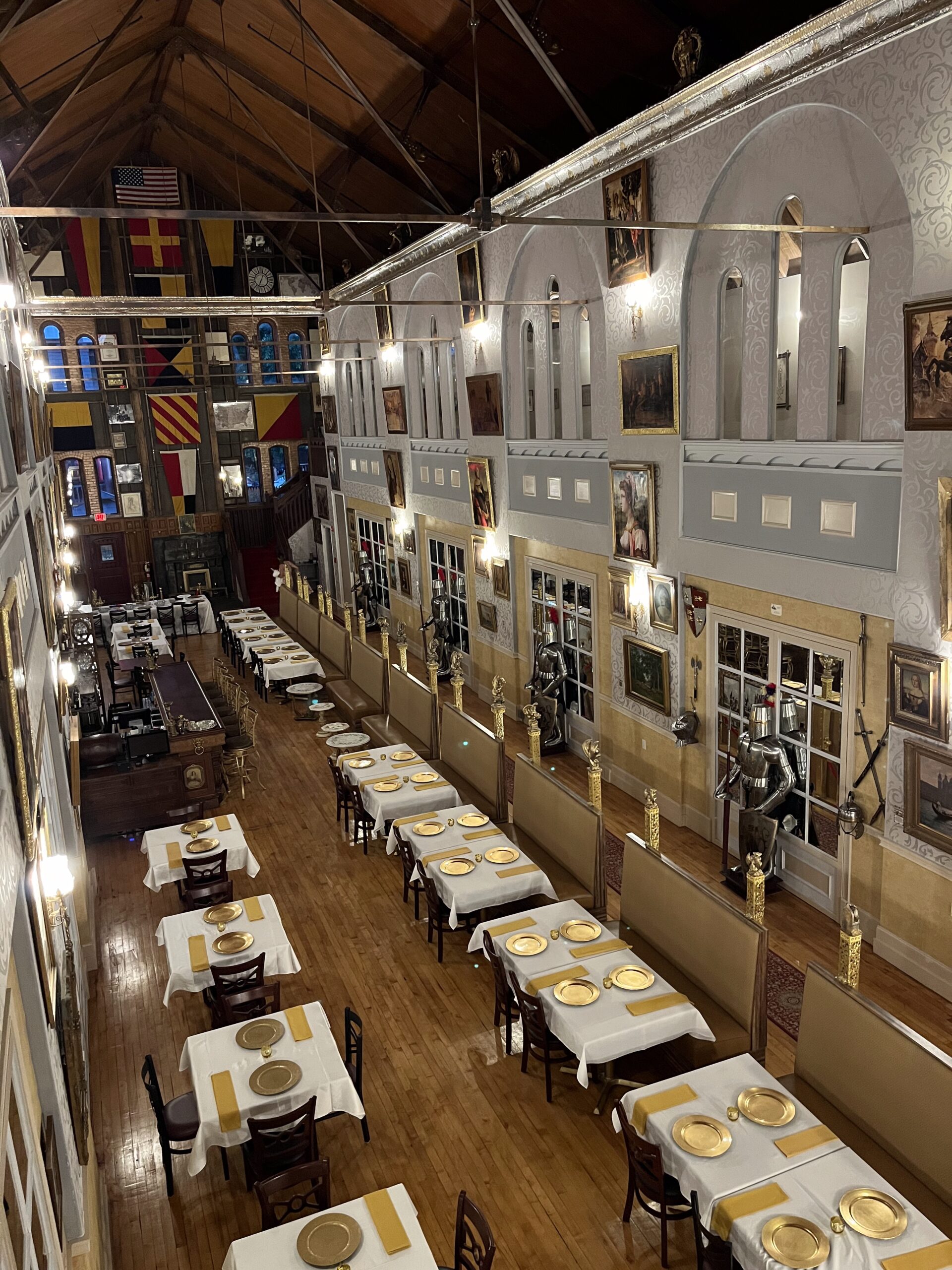
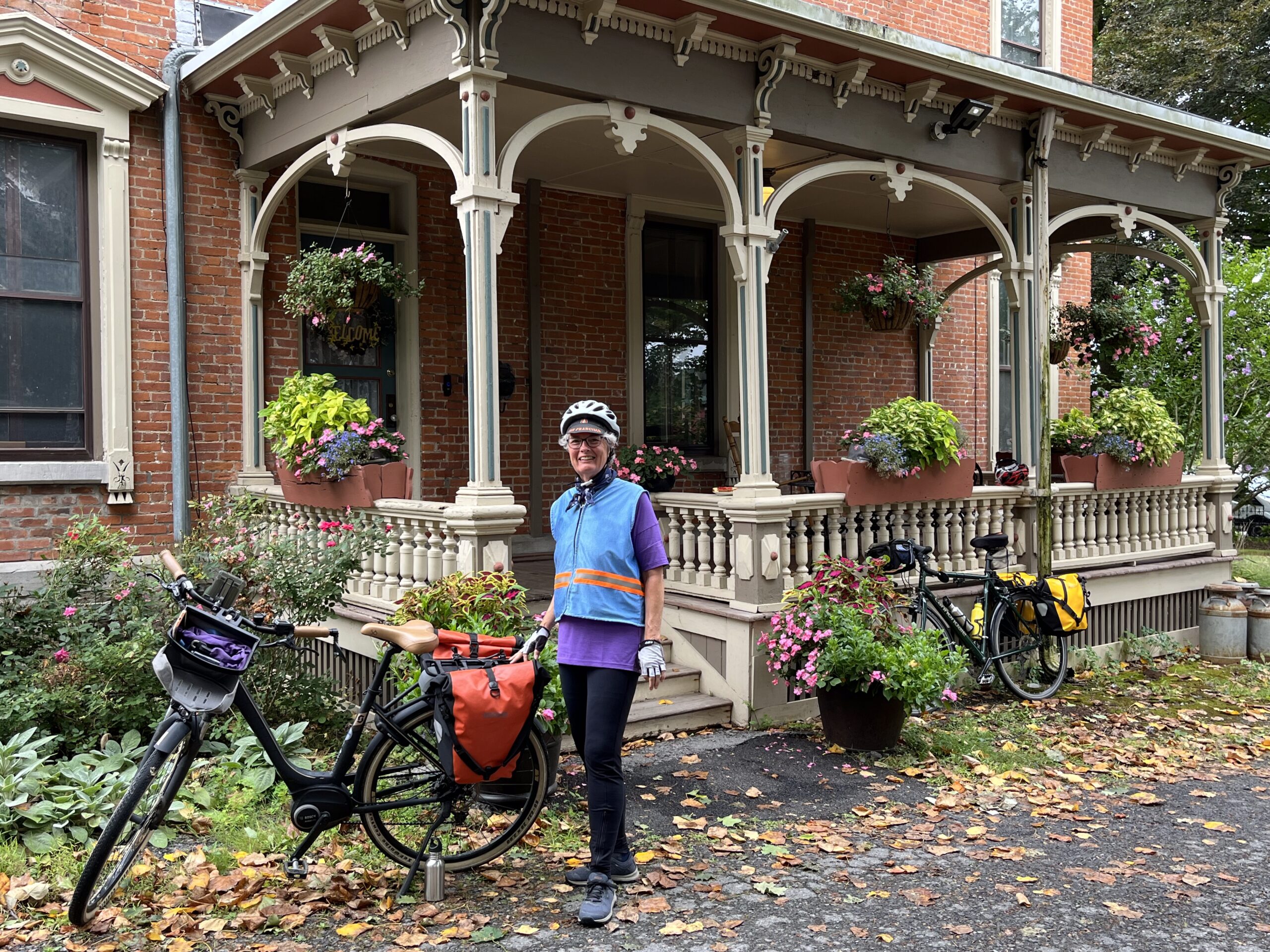
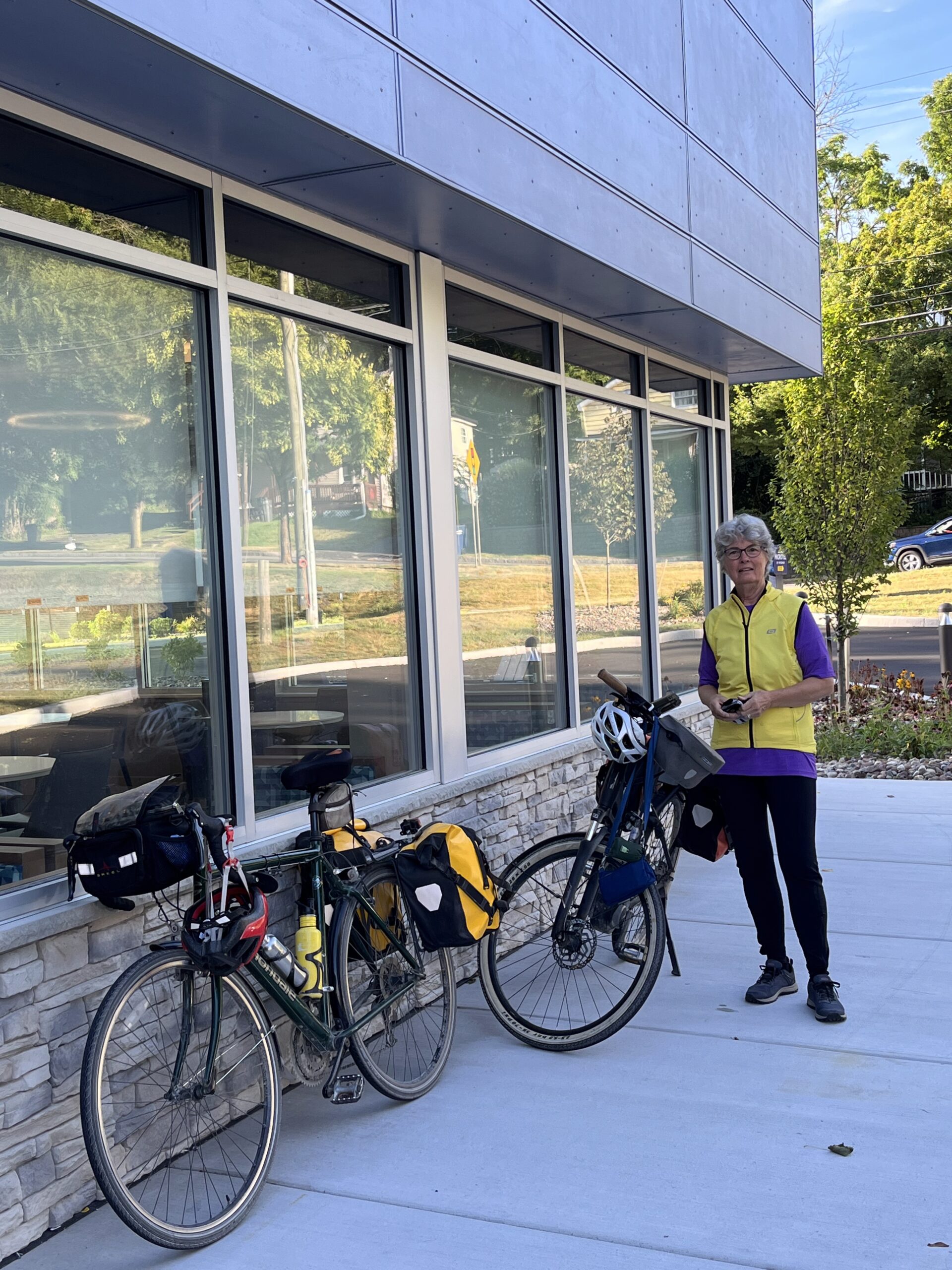
Retrieving my bike from the garage at the Amsterdam Castle, where it had been kept safe
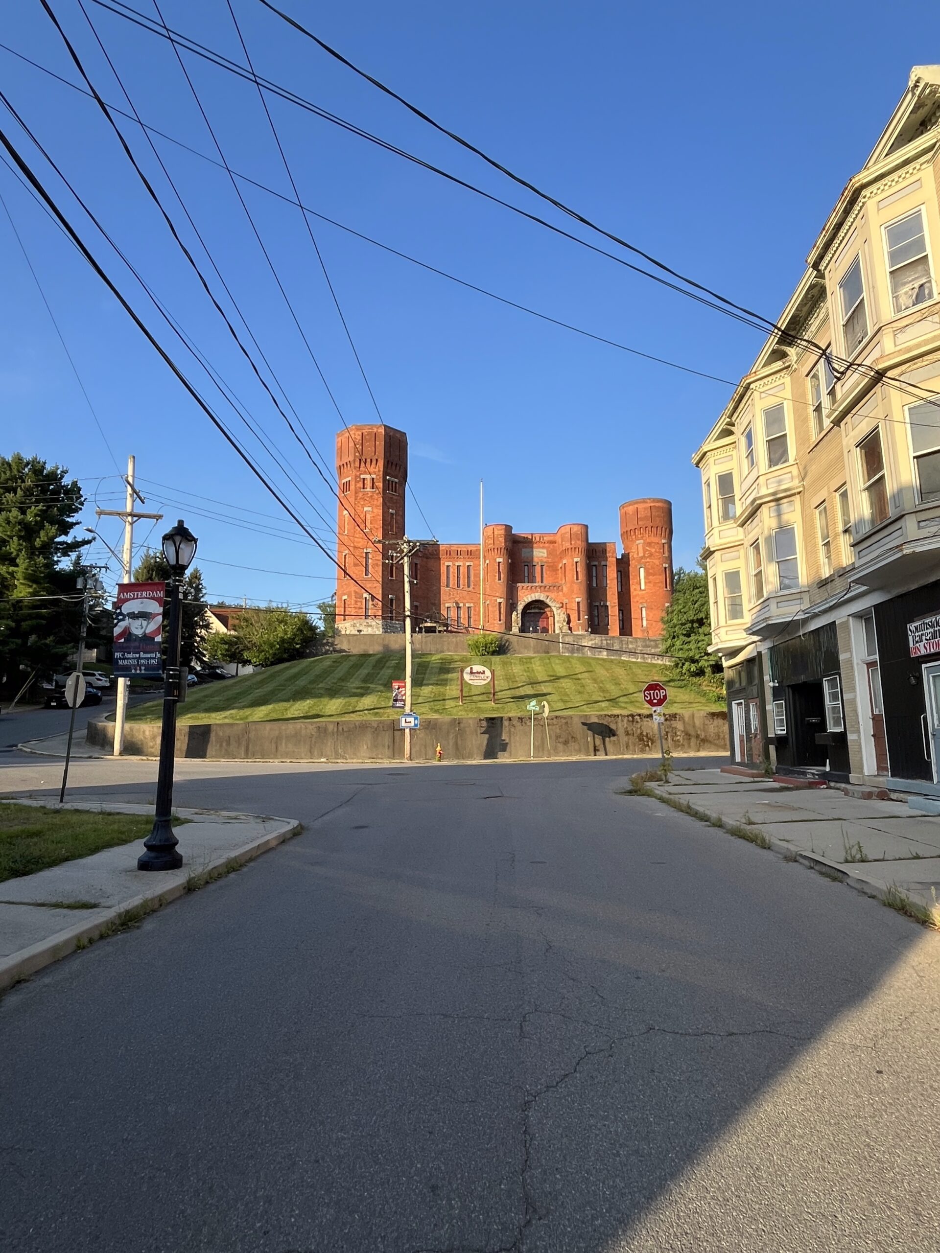
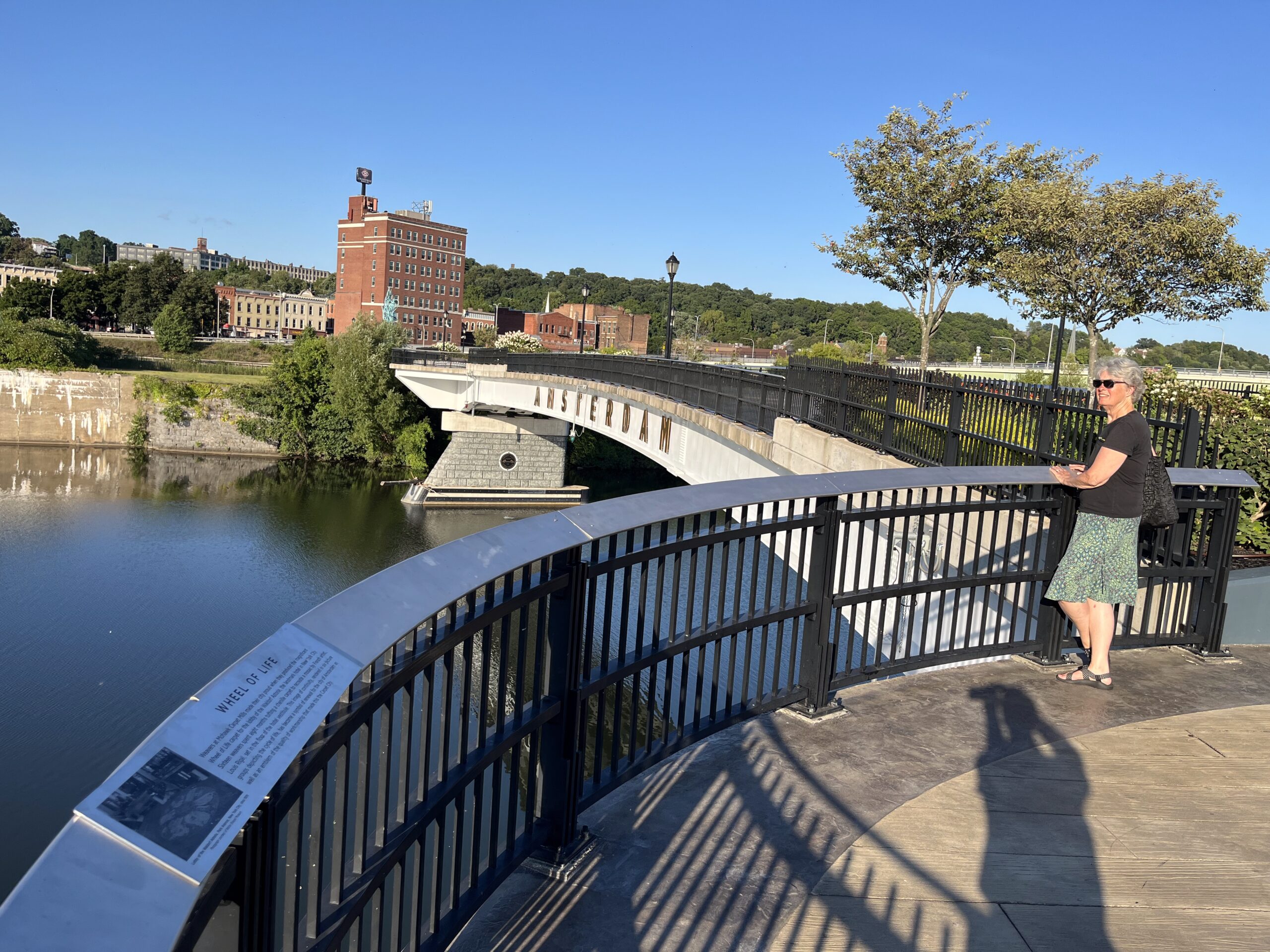
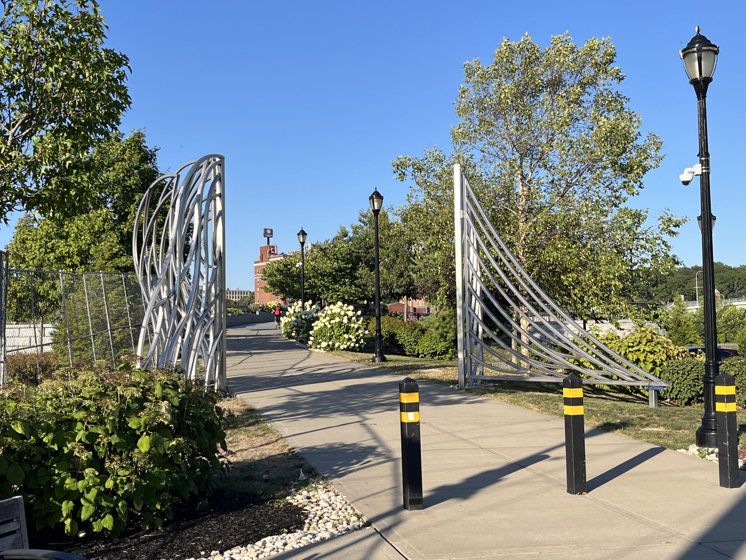
A look back at the Amsterdam Castle as I head down Bridge Street at 7:00 am to check out the new park by the river before getting on my way.
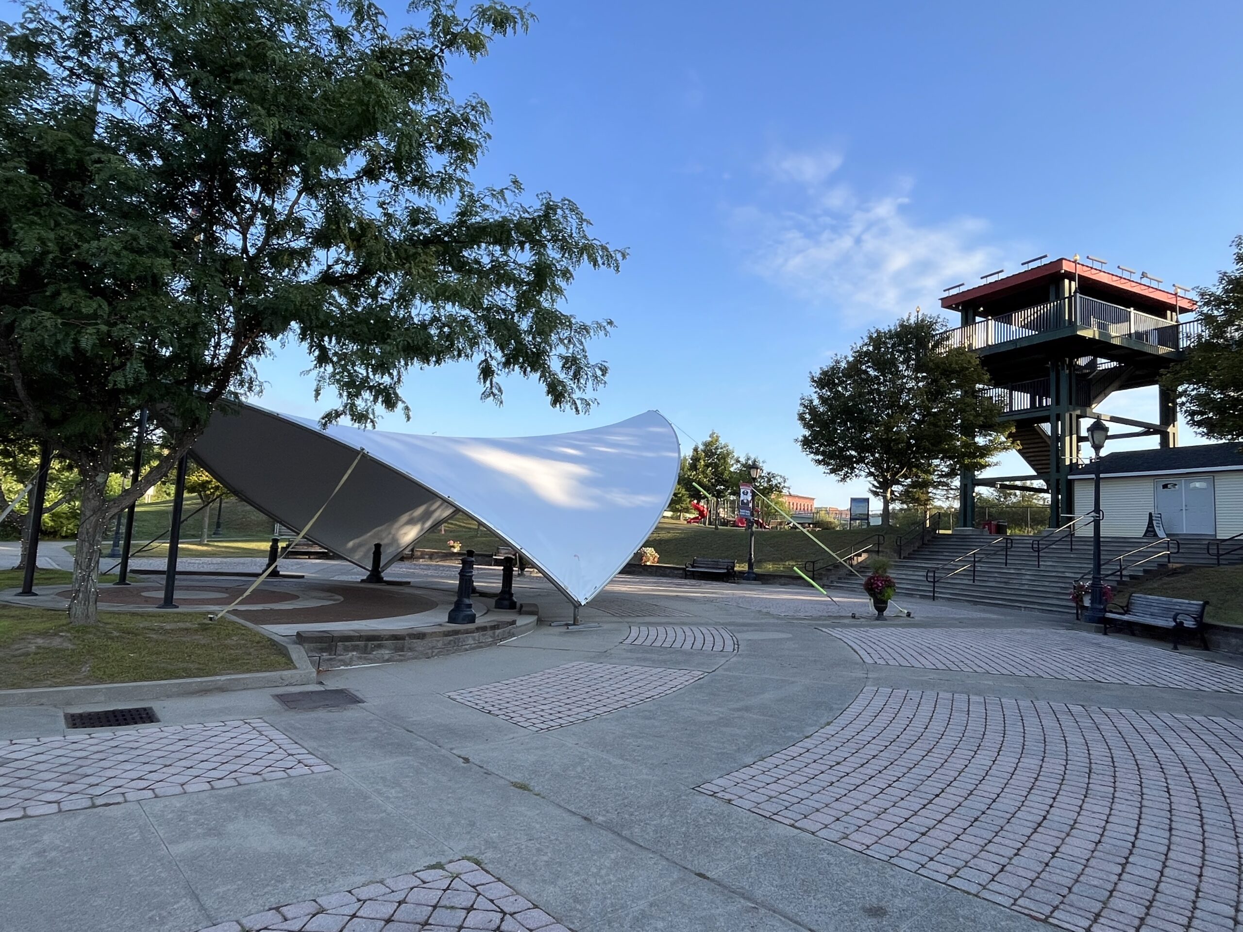
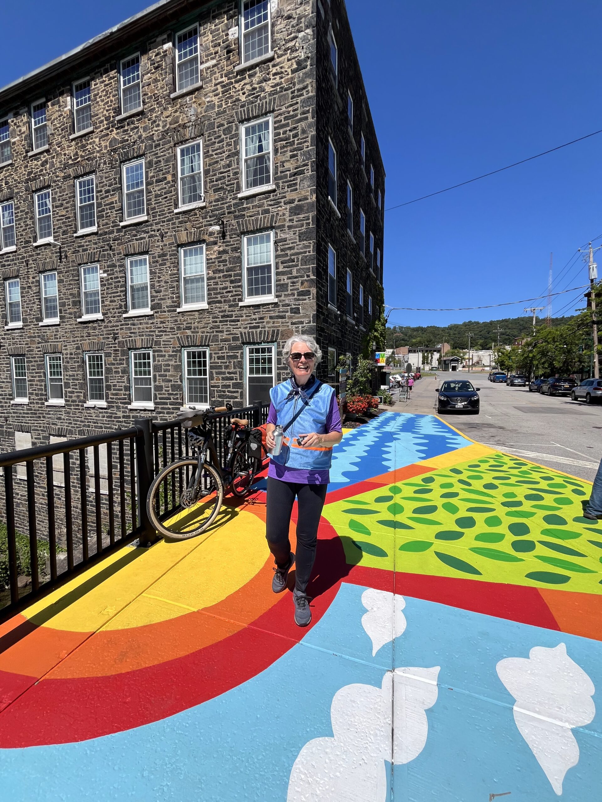
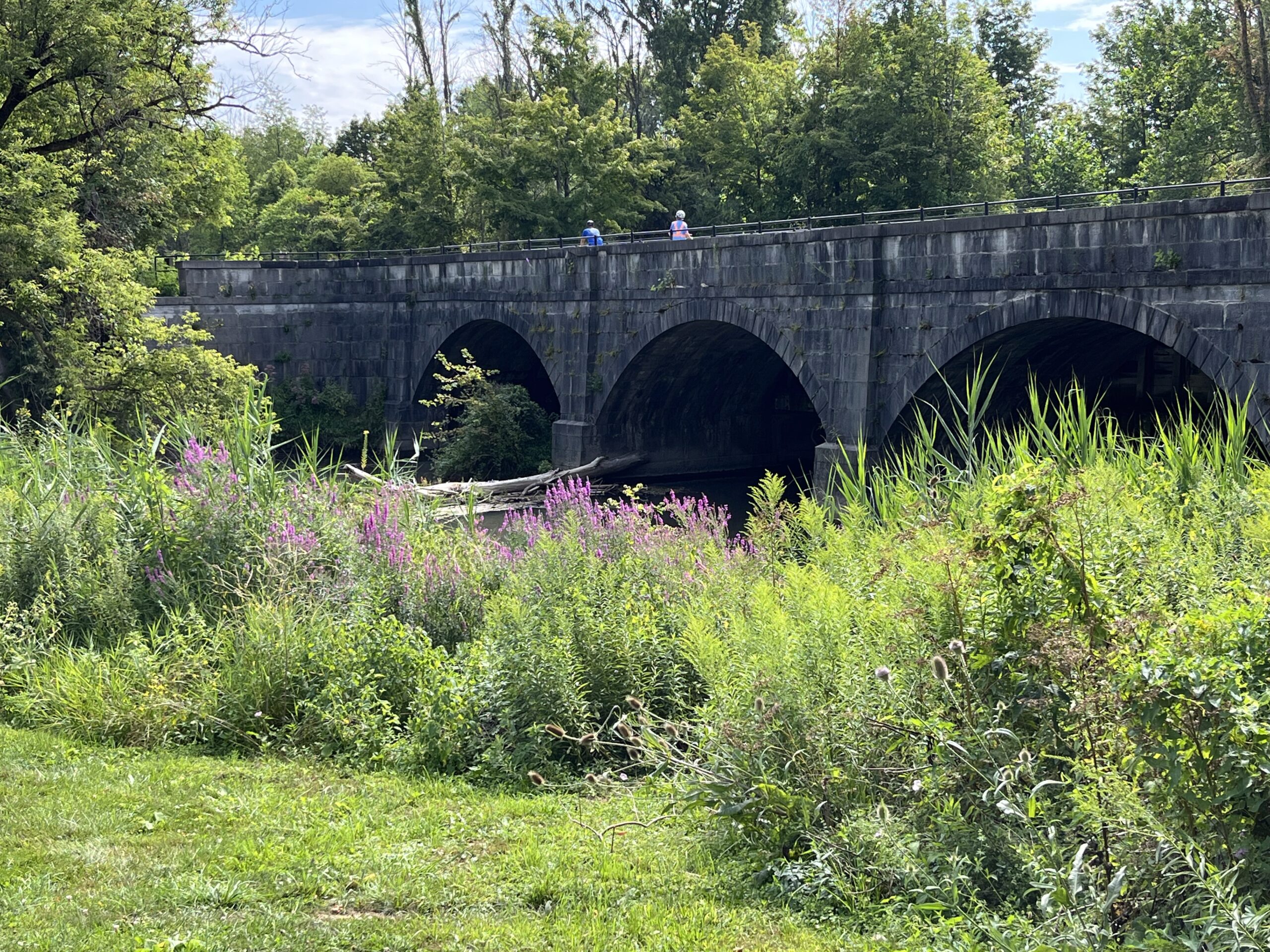
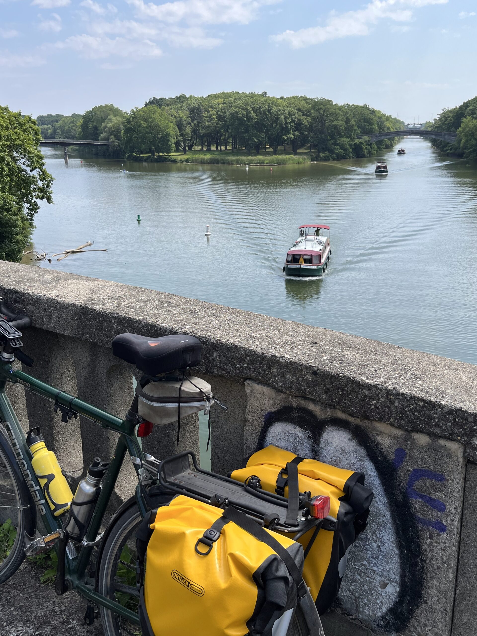
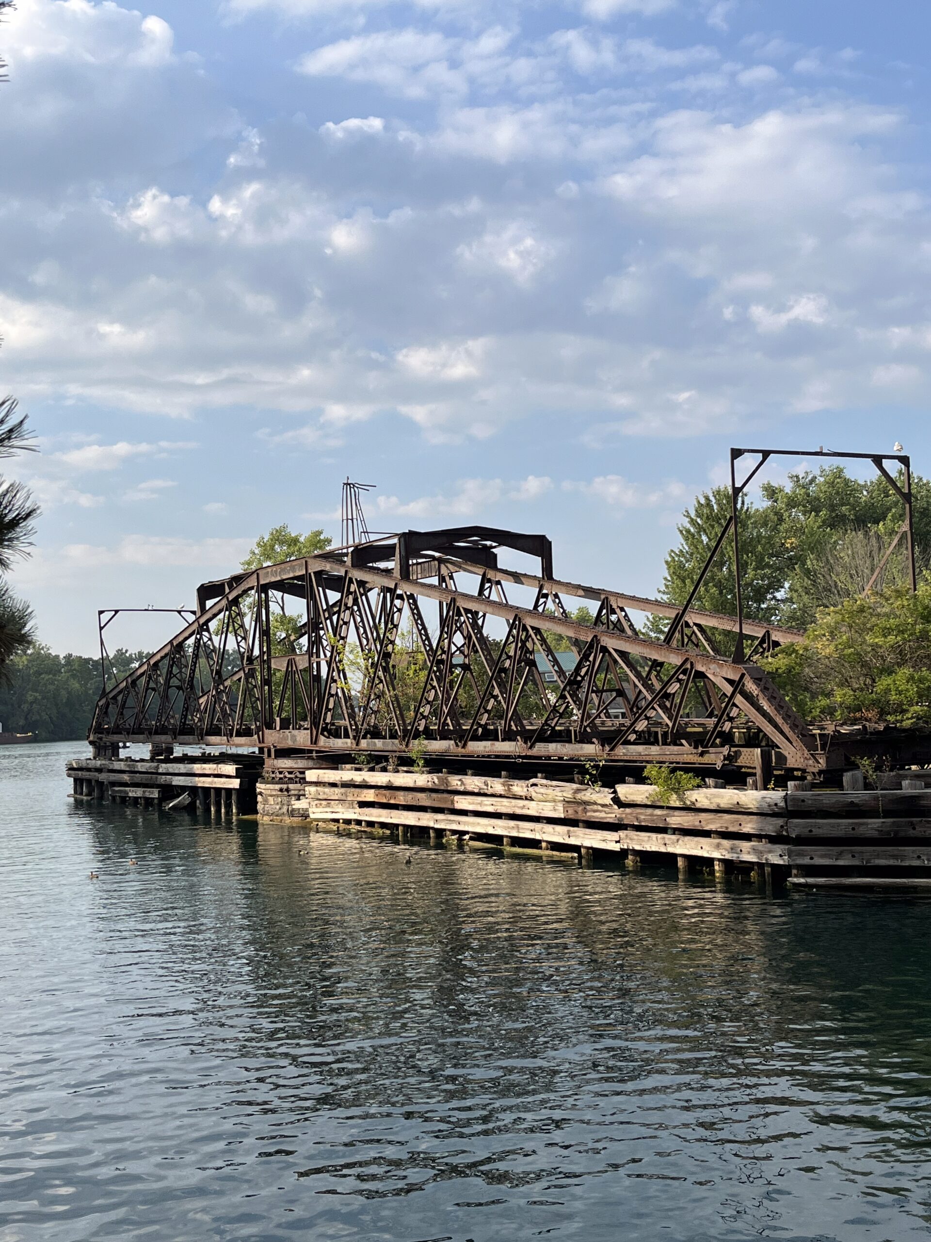
What a great park; clearly a big investment. I climbed up the tower on the right, and there’s a caged walkway that crosses over the railroad tracks and New York Thruway into the other side of town. It looks like that walkway bridge has been there for a while.
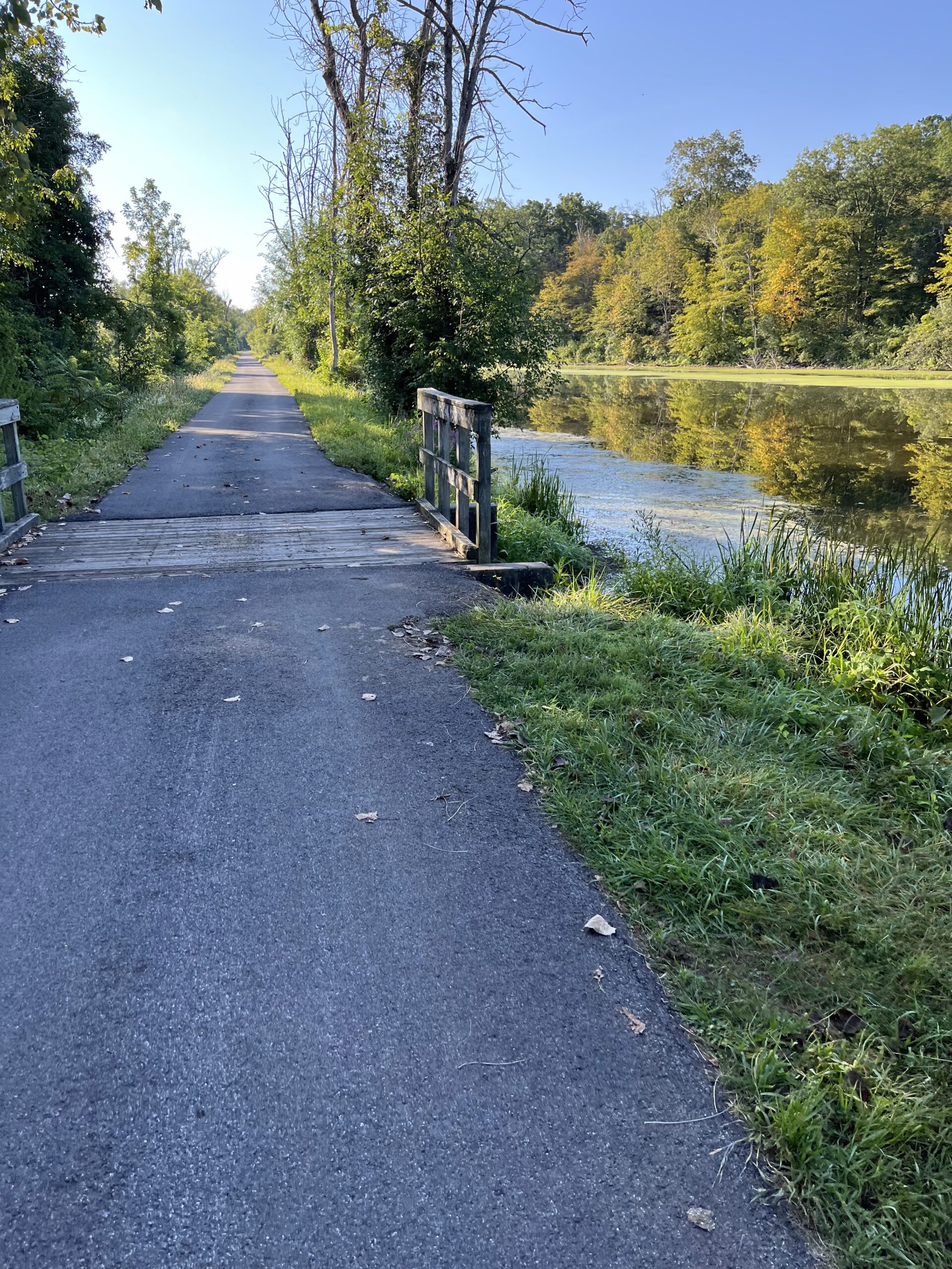
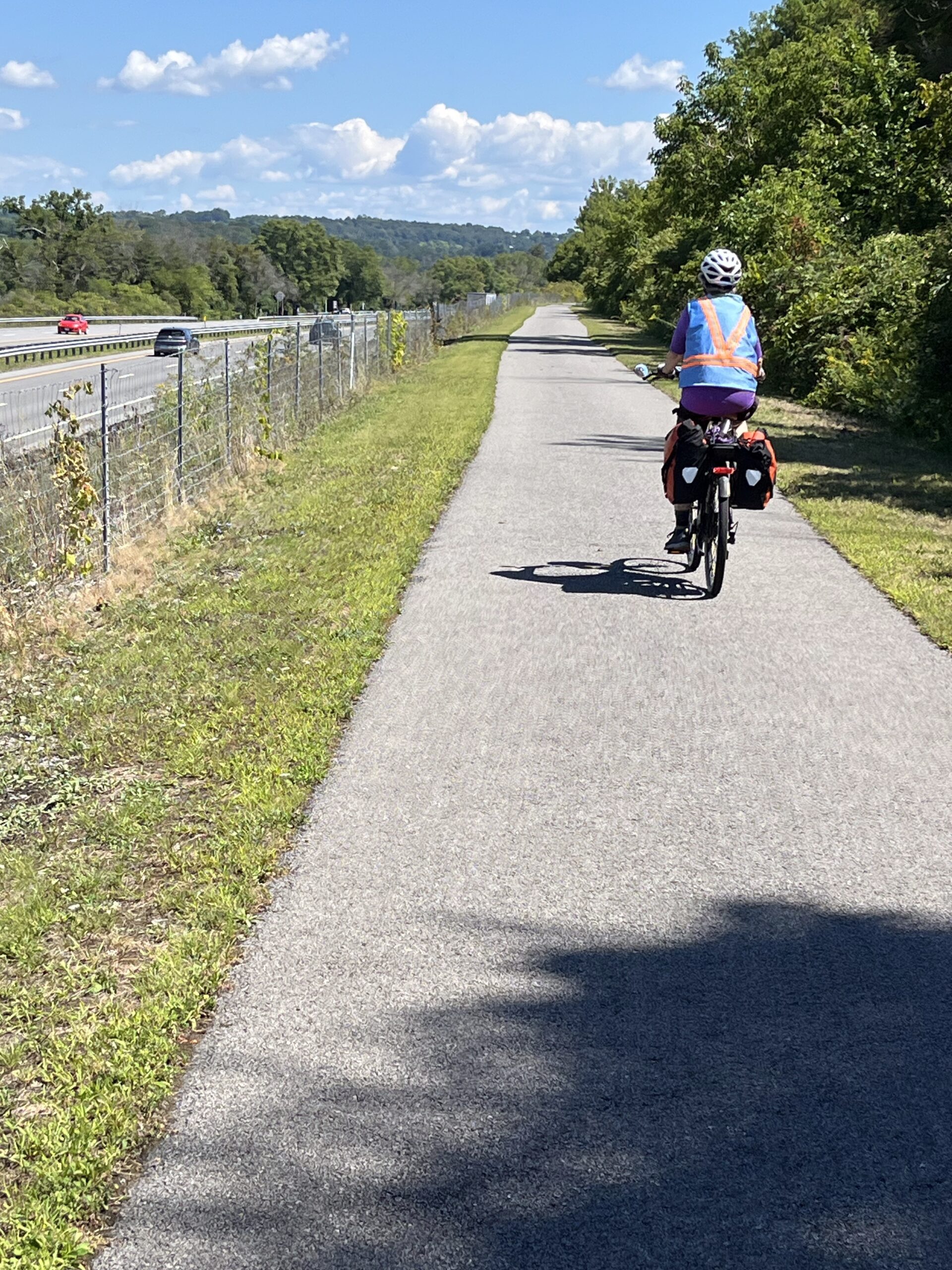
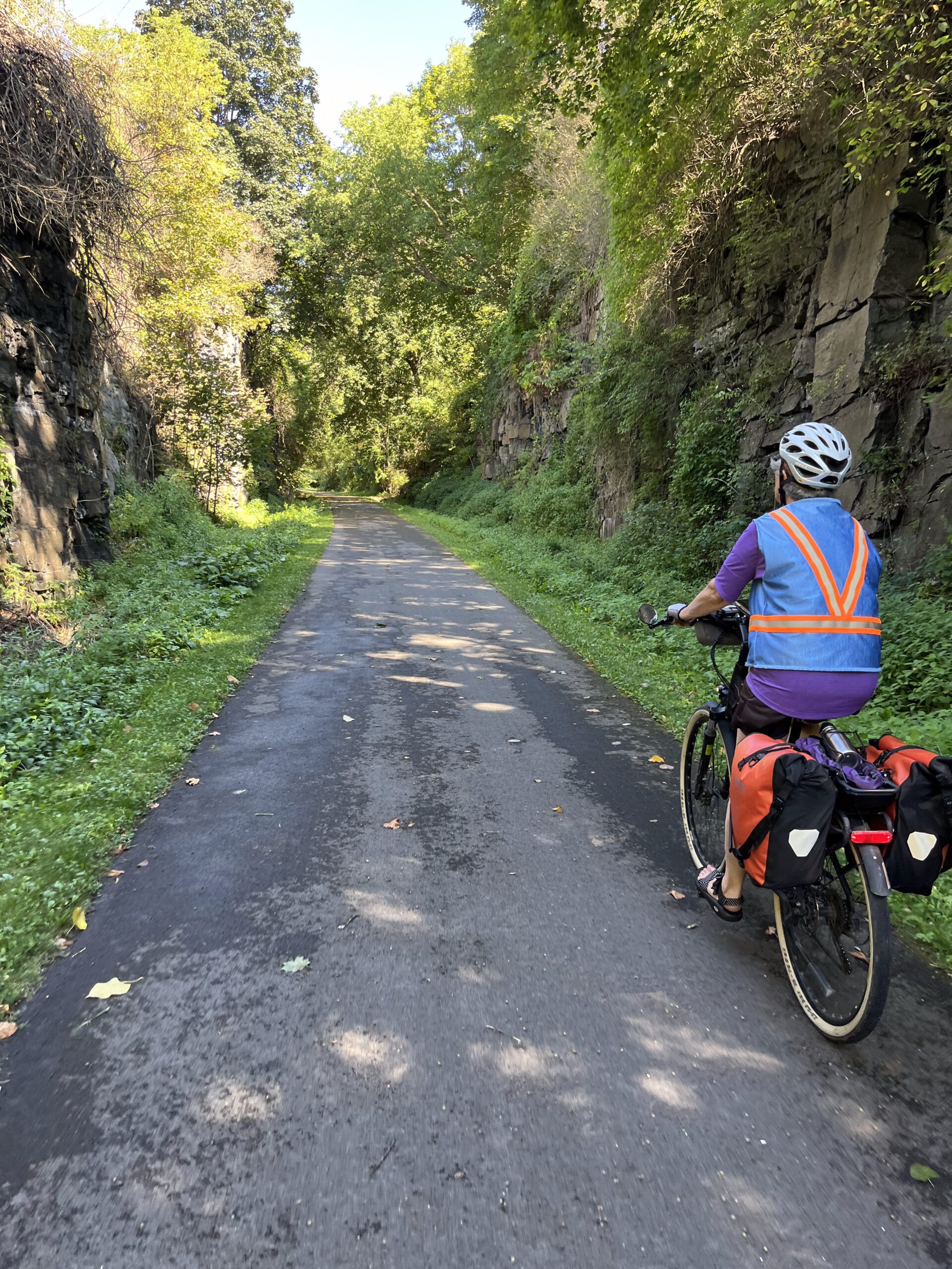
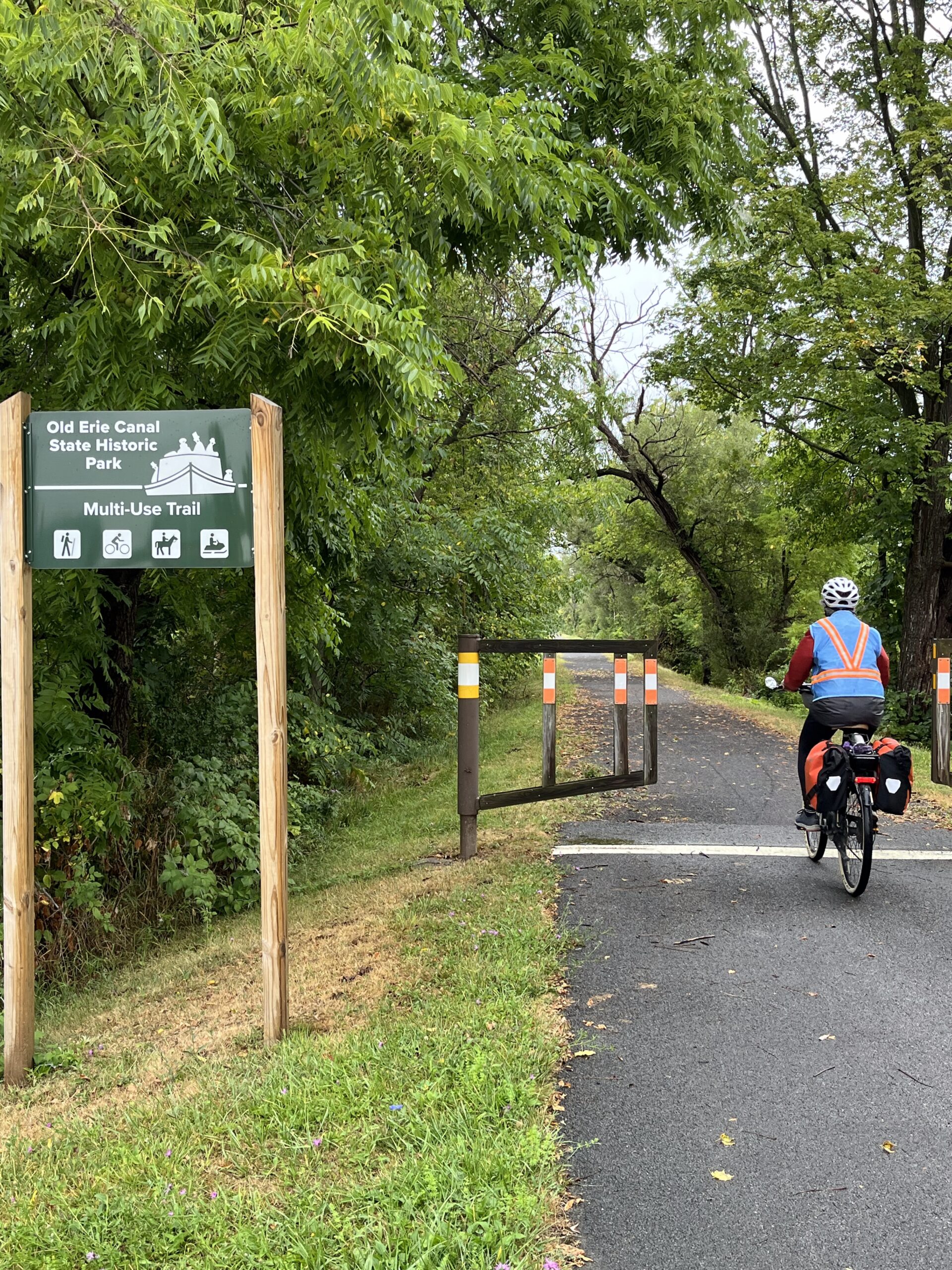
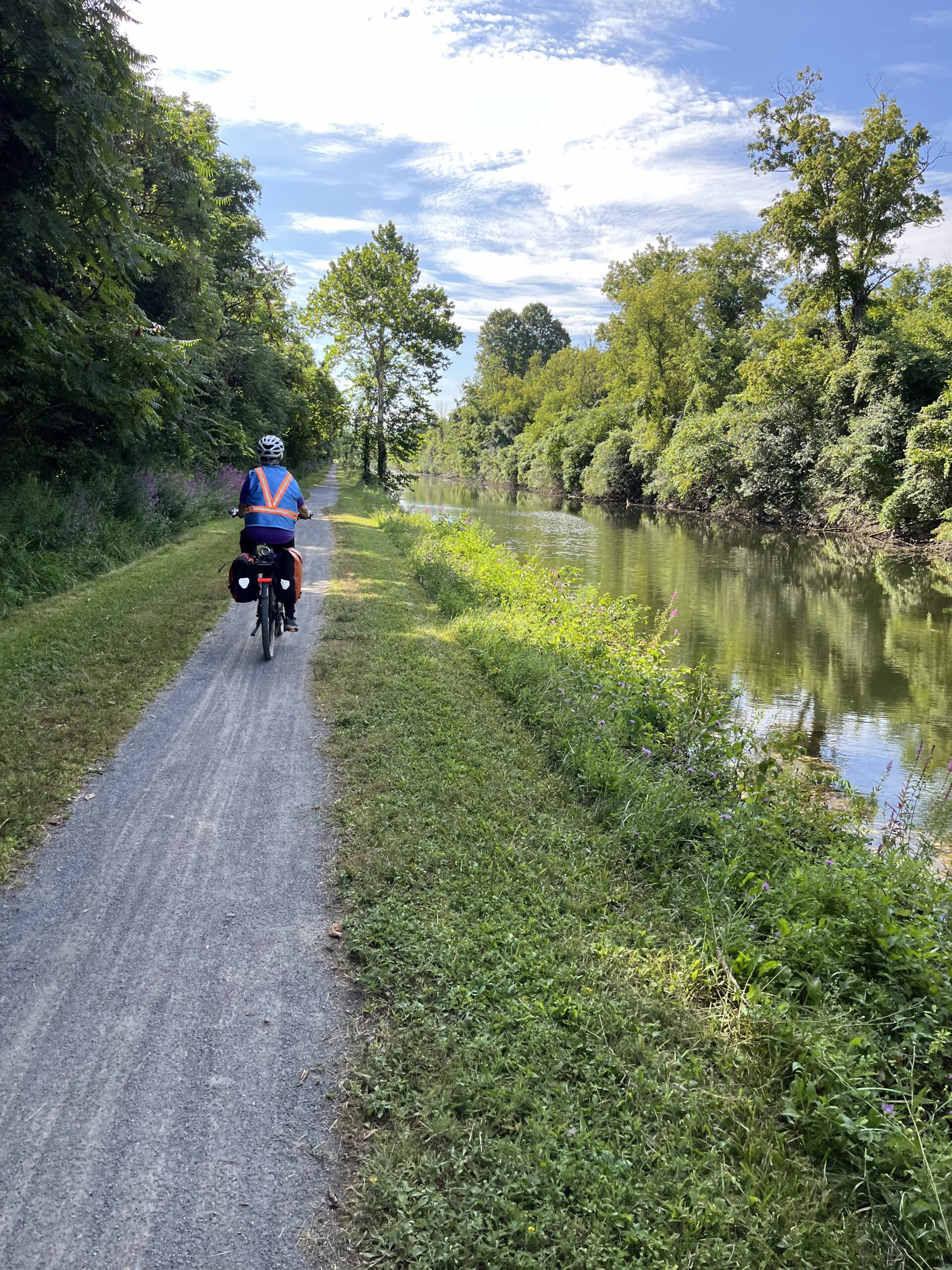
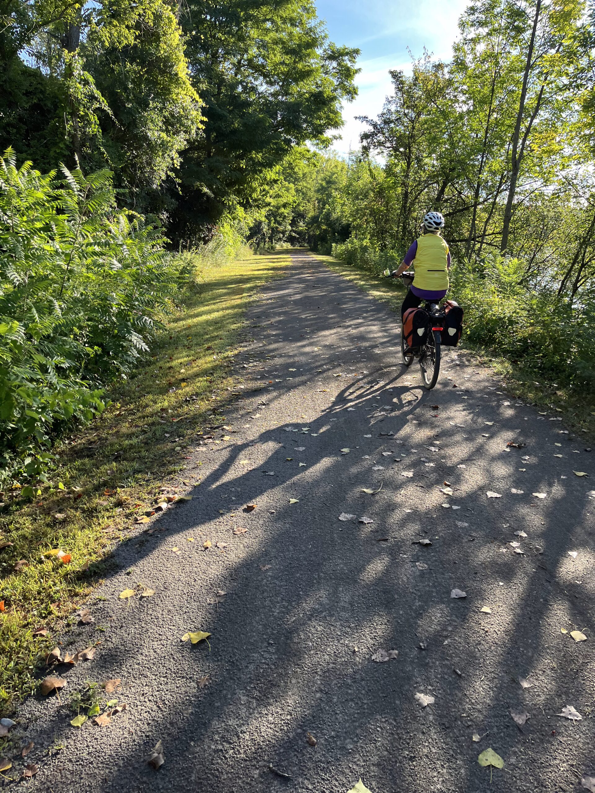
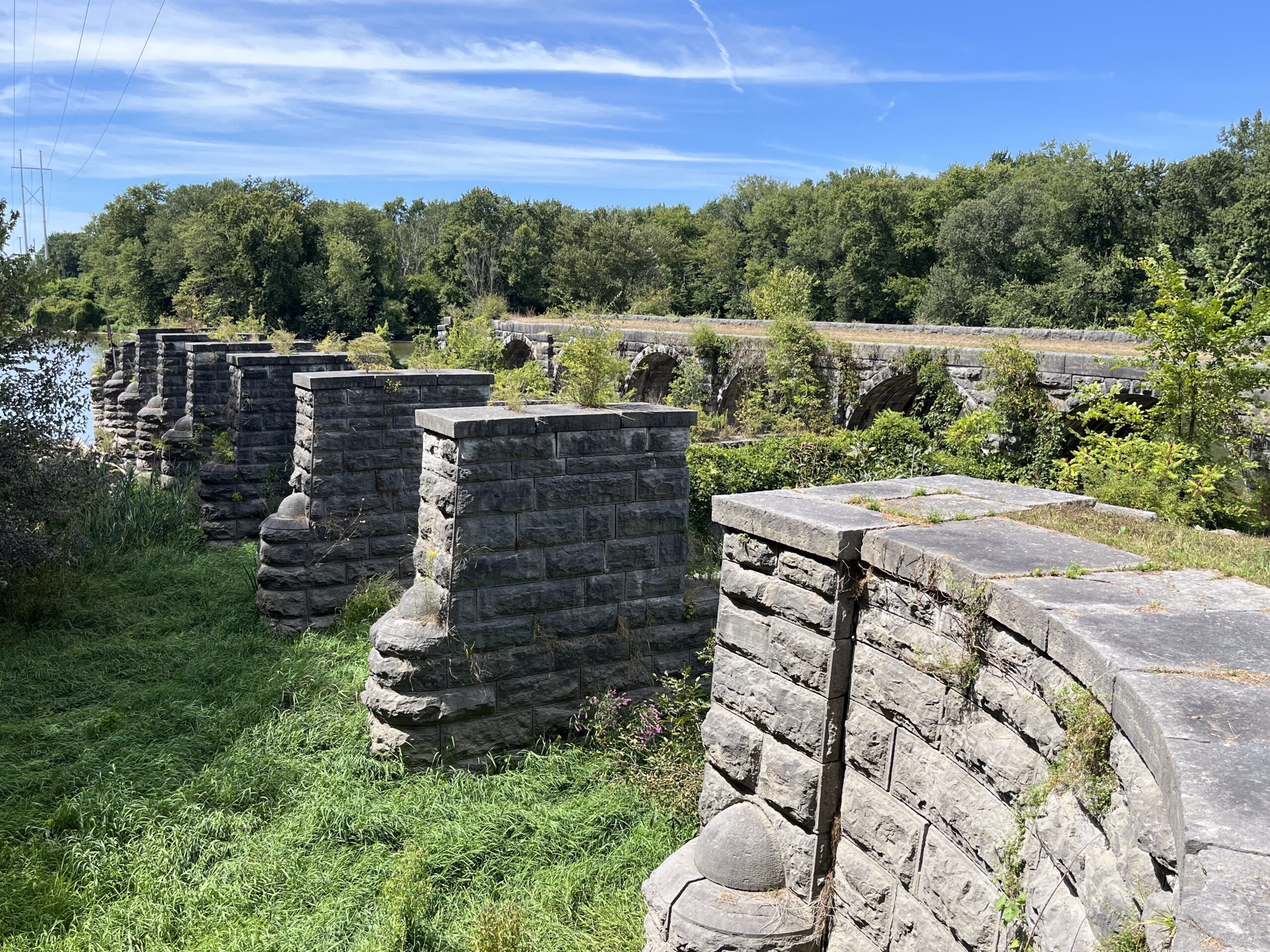
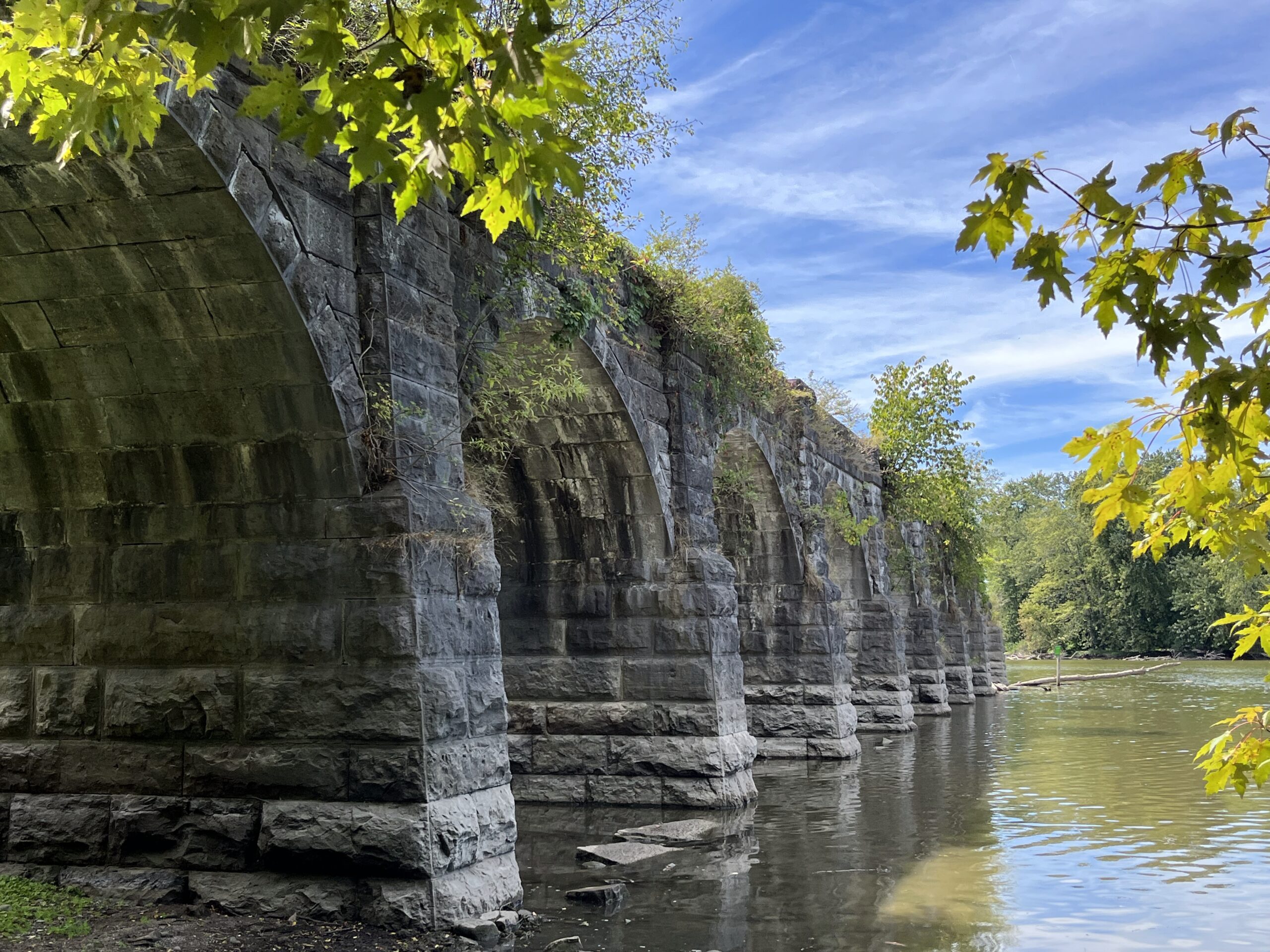
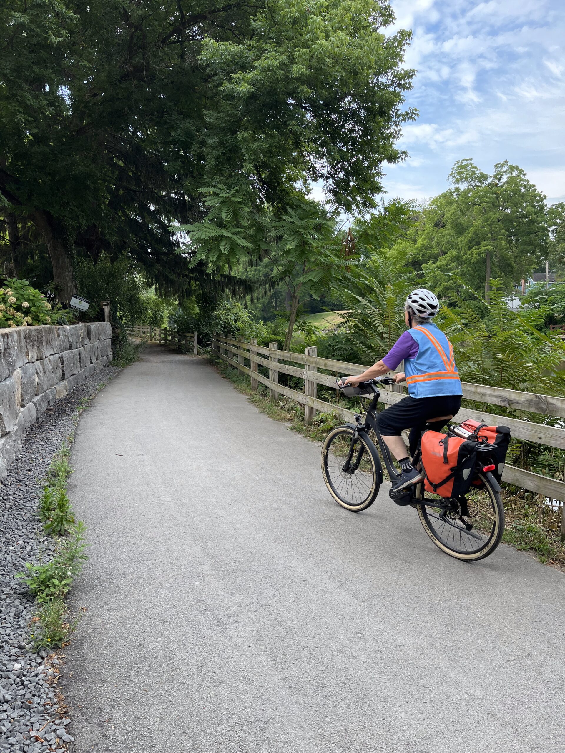
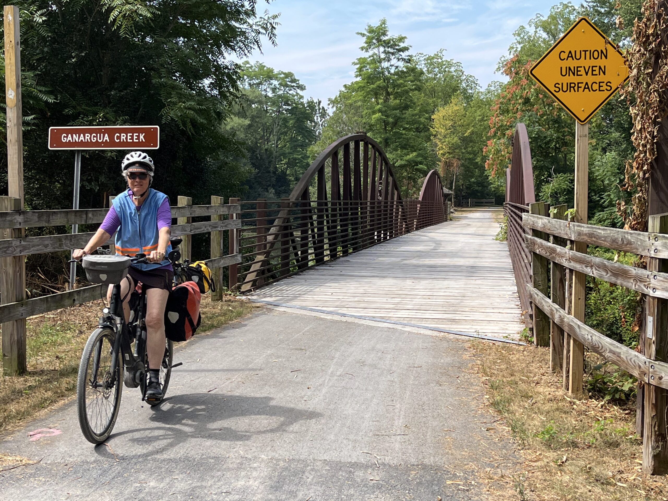
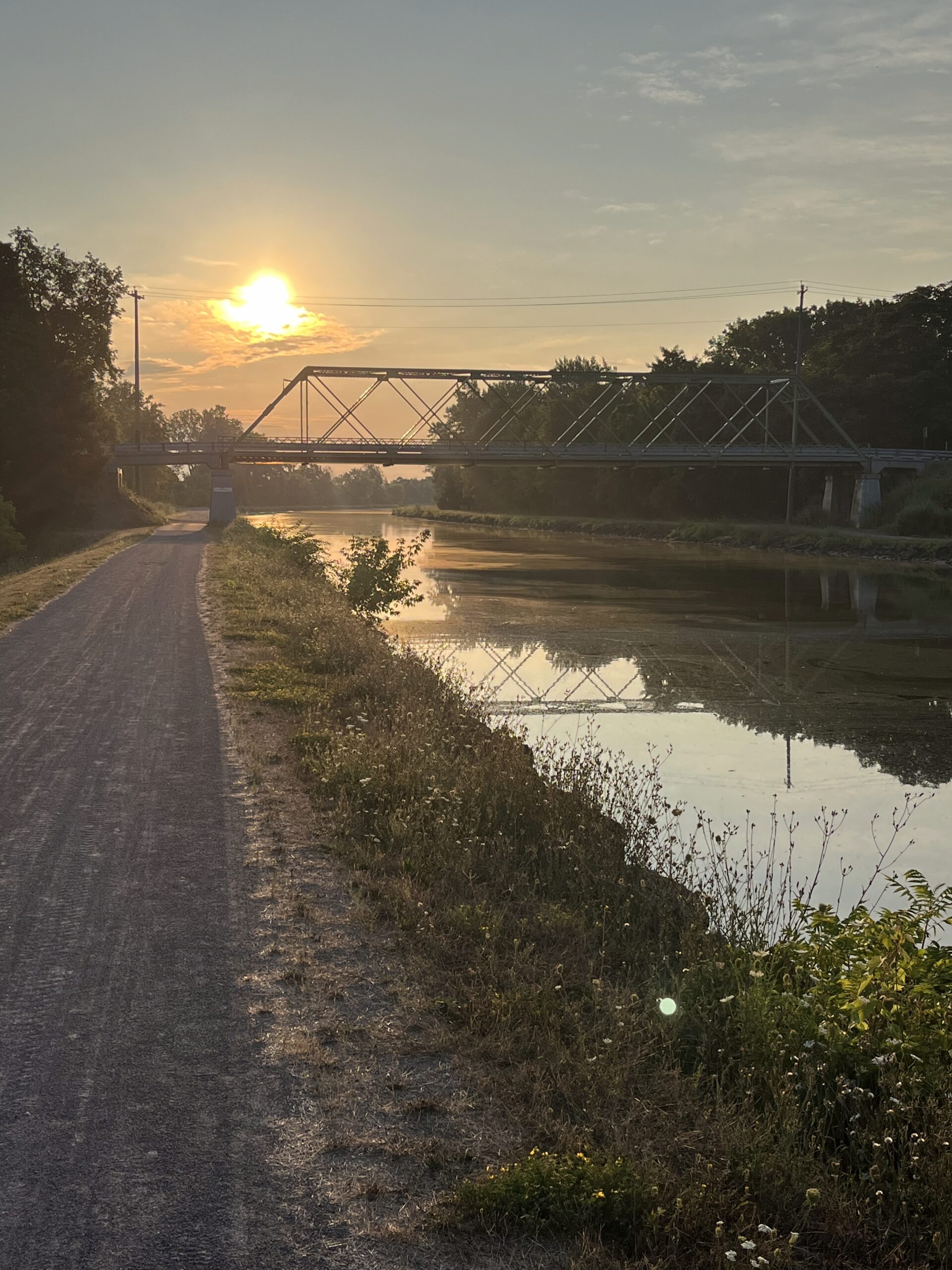
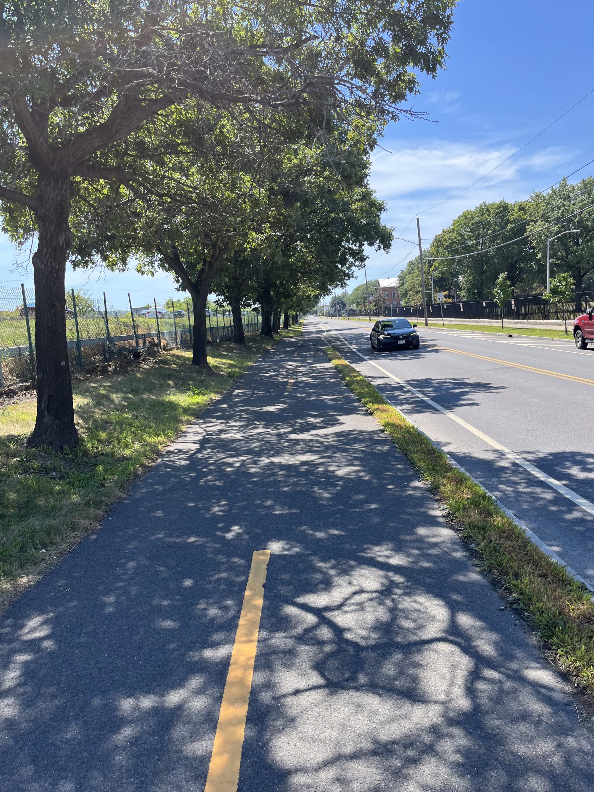
Riding a section of trail along the old Erie Canal—not the larger Barge Canal.
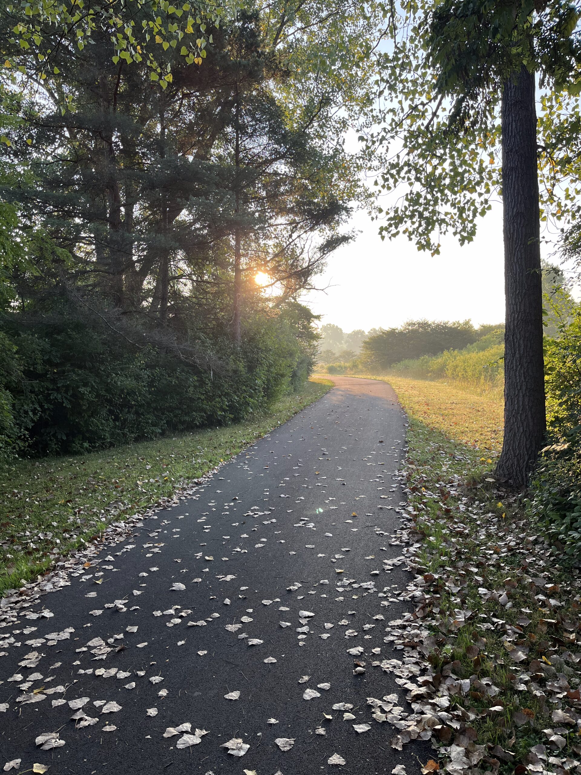
In Schnectady, I had a bagel and cream cheese, coffee, and cookie at an okay coffee shop, and I got my phone mostly re-charged. (I find with Google Maps open, the battery on my iPhone runs down pretty quickly, and I need to charge it during the day to have map guidance for the full day’s ride.) Along the way to Schnectady, the fully paved trail was in fairly good shape, especially once I was on the Mohawk-Hudson Bike Hike Trail, which seems to be the trail that the Empire State Trail uses in the this part of the state.

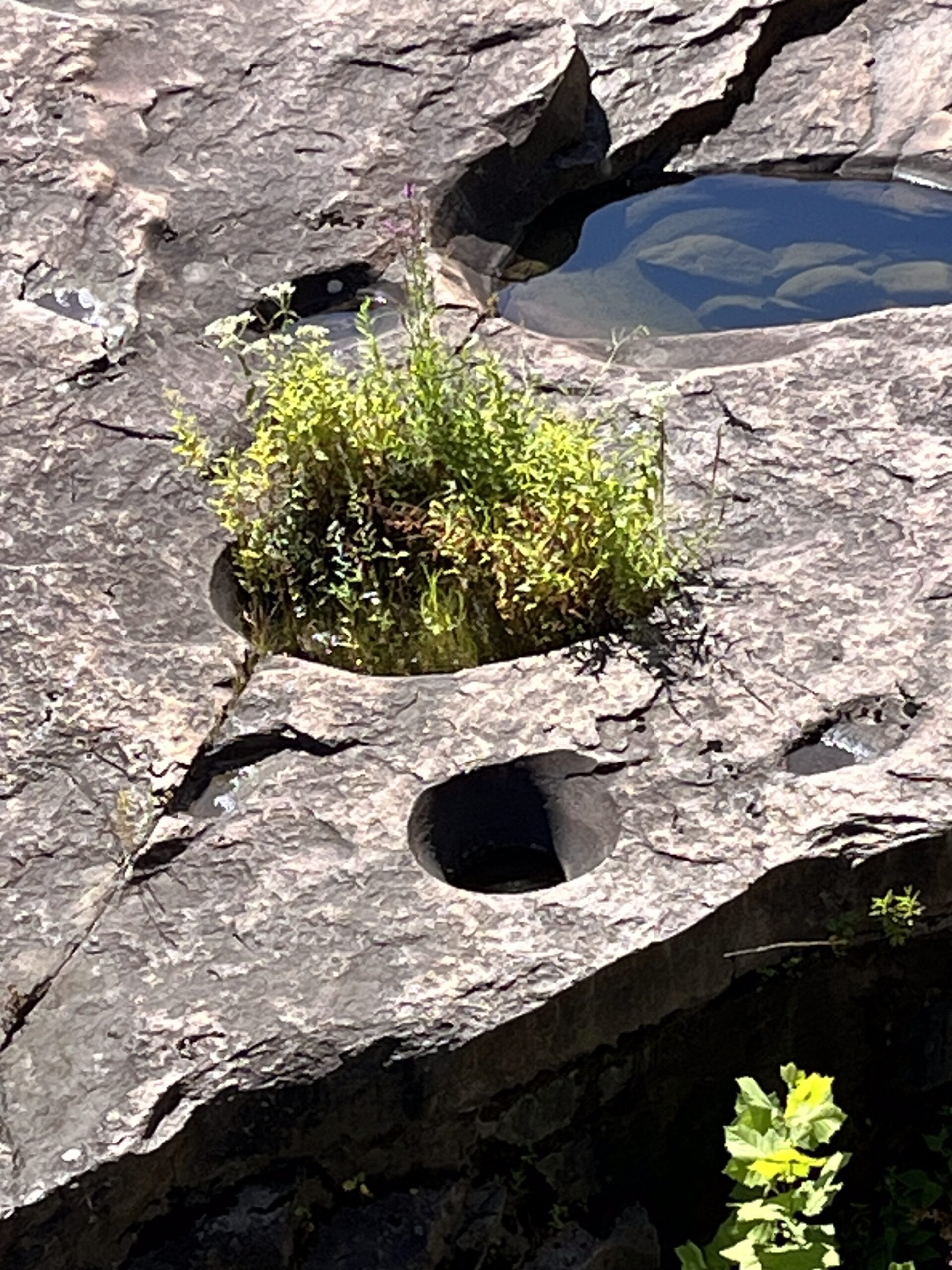
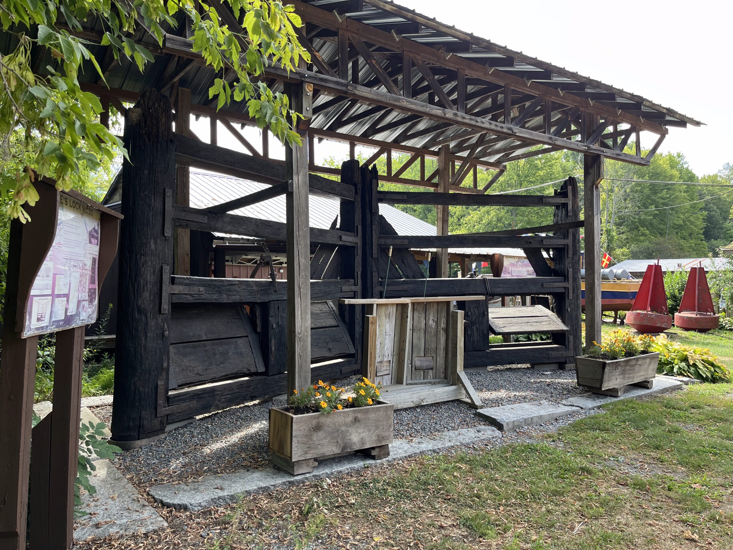
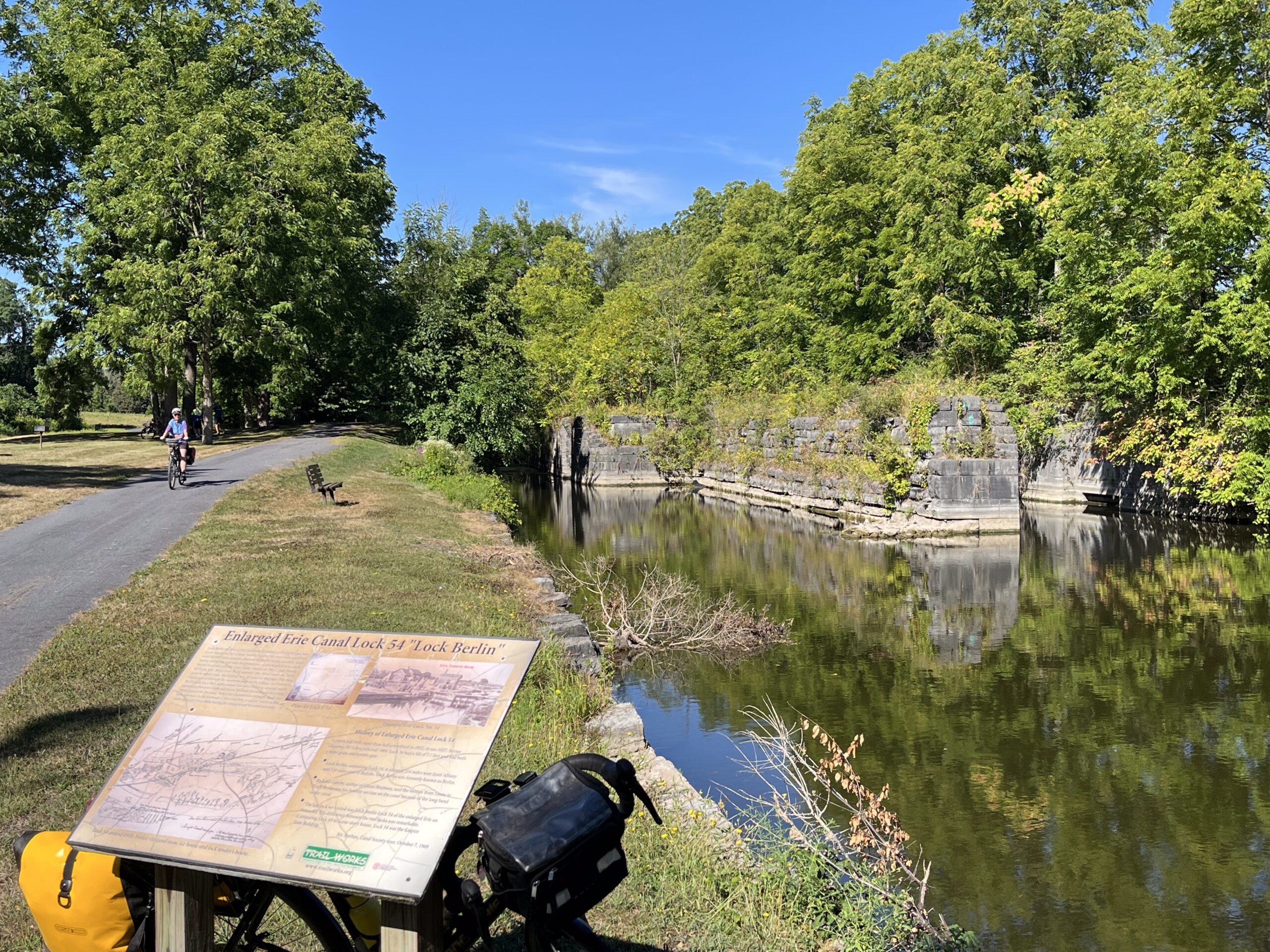
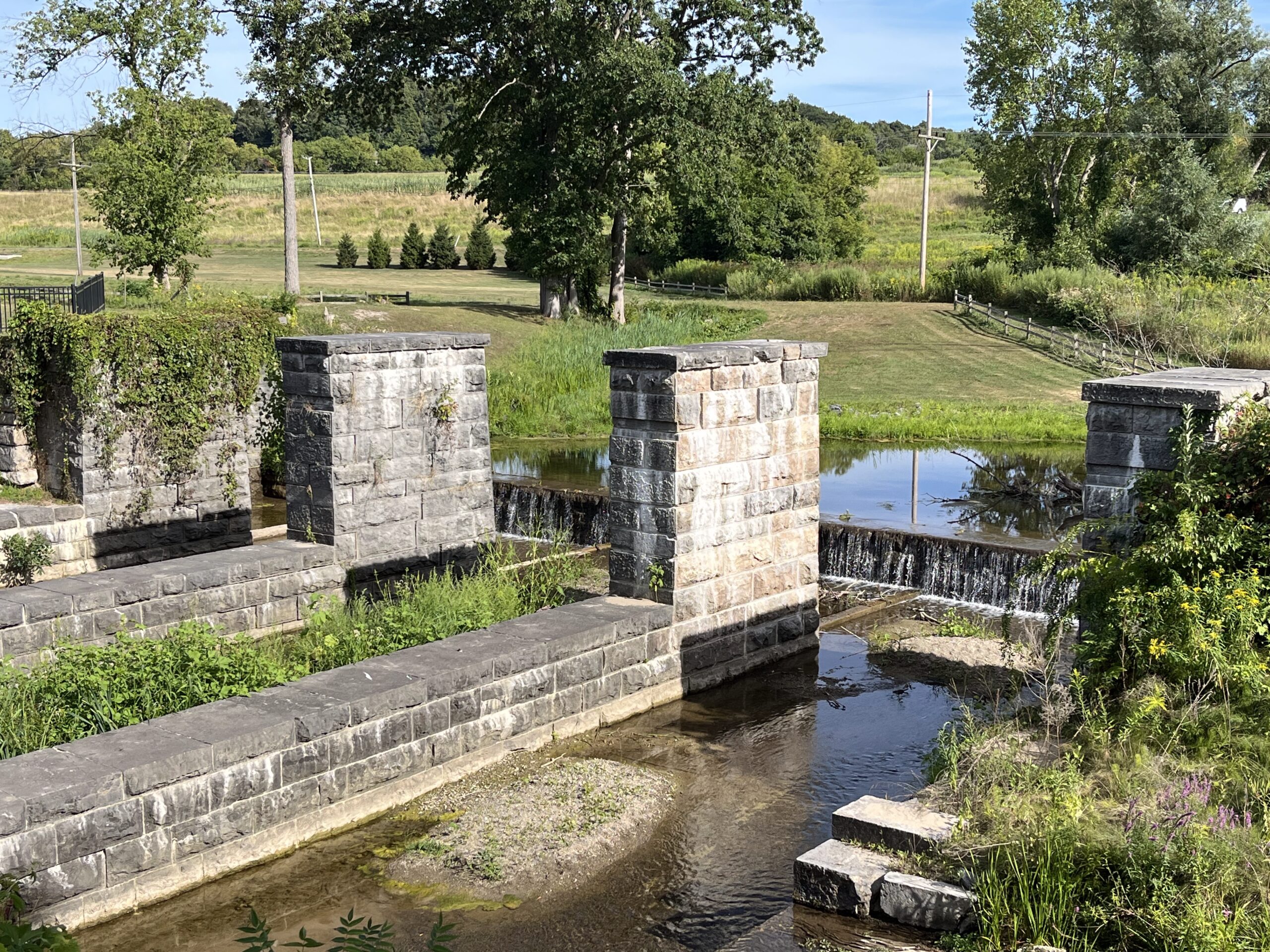
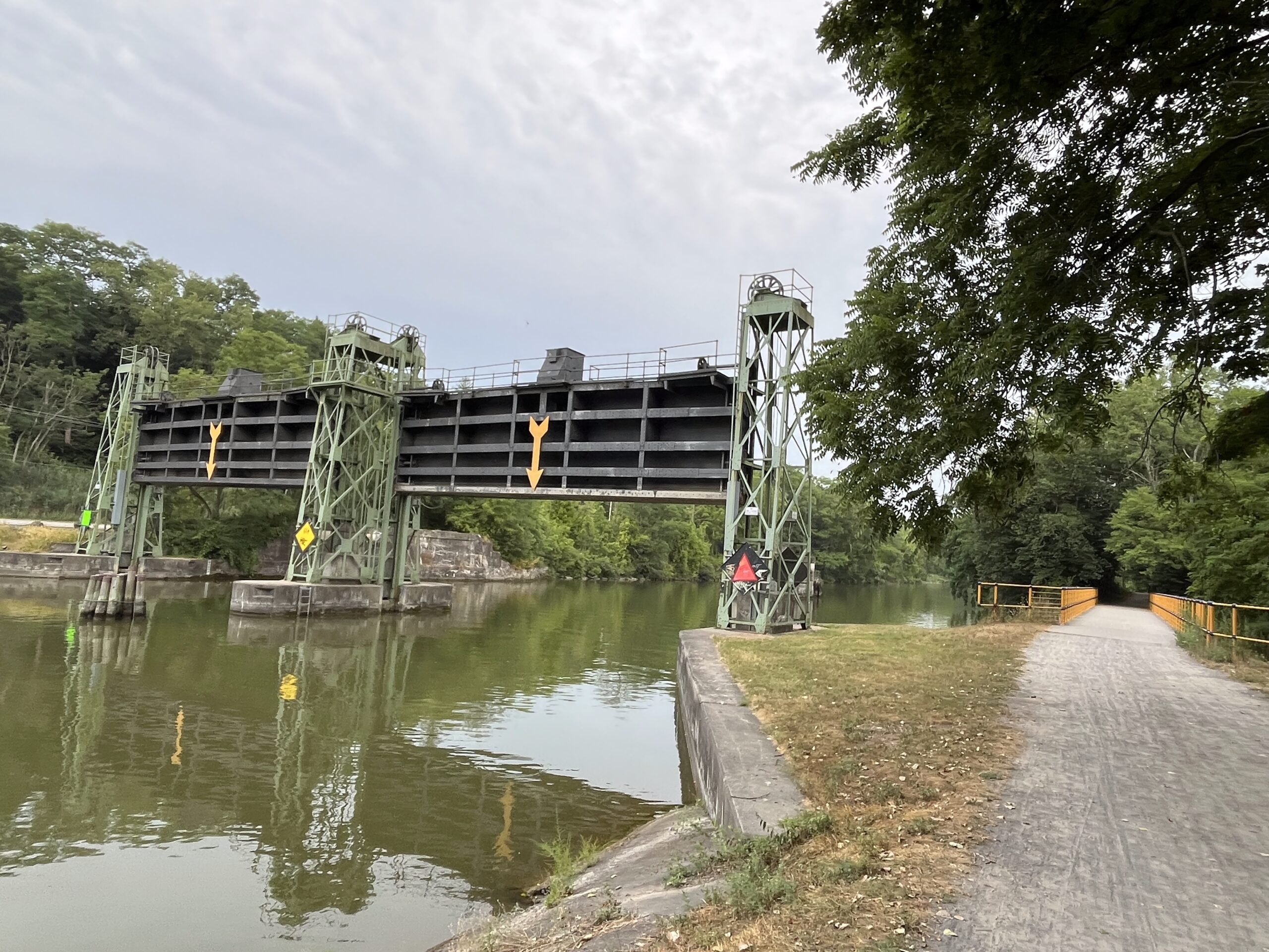
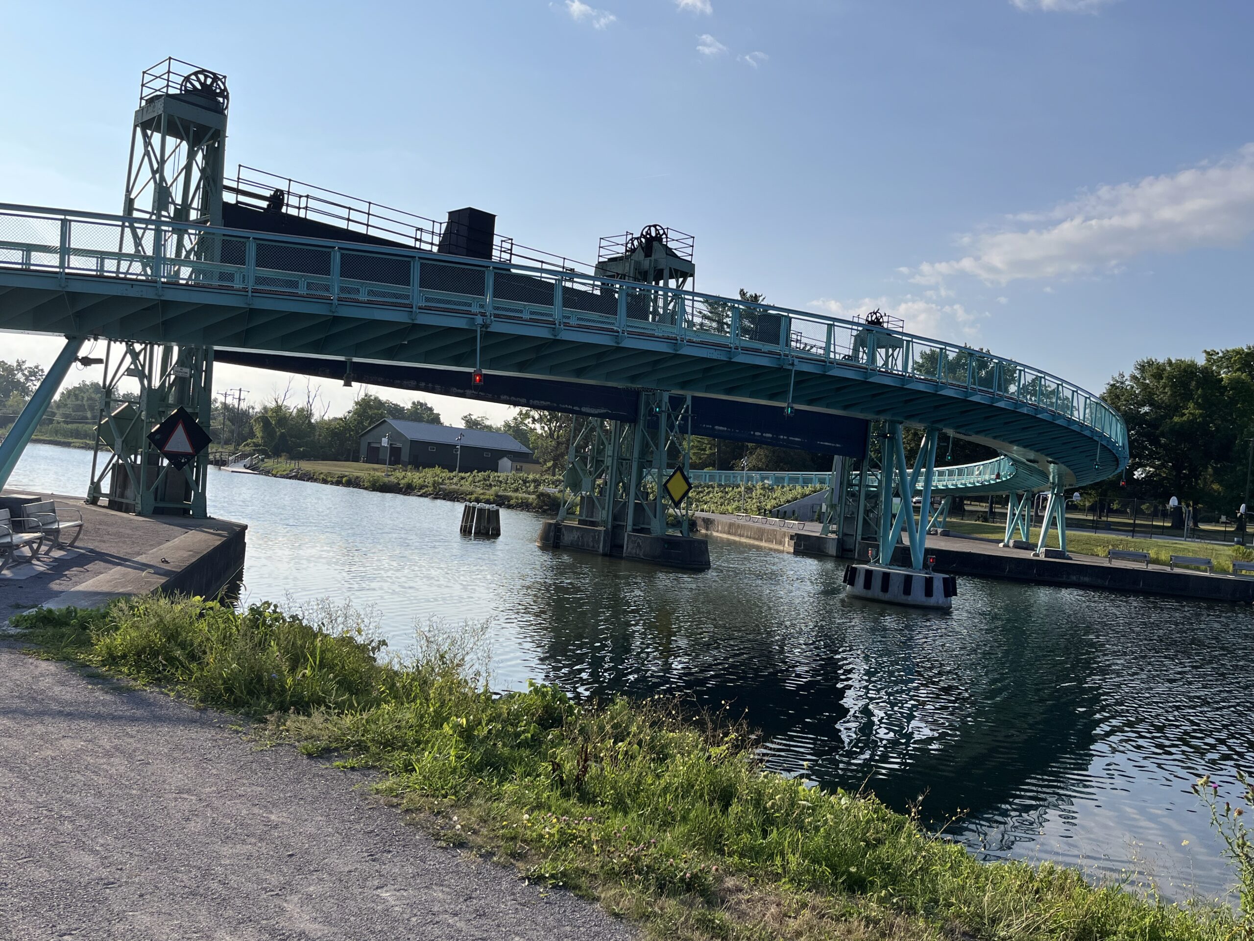
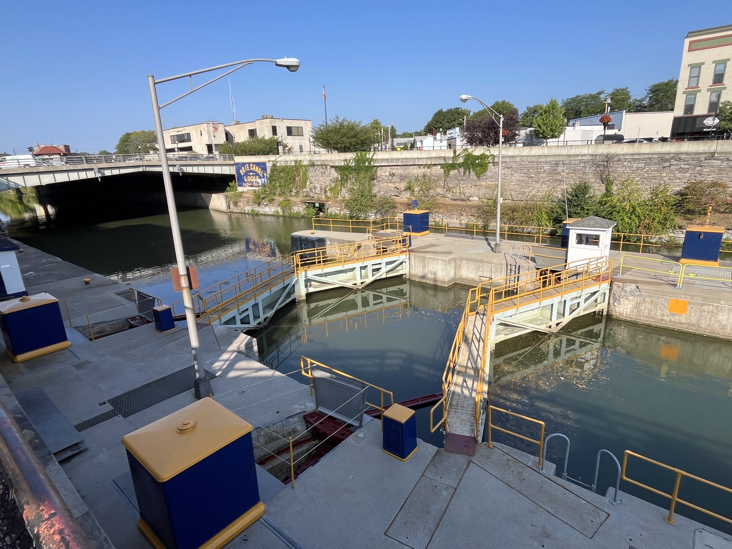
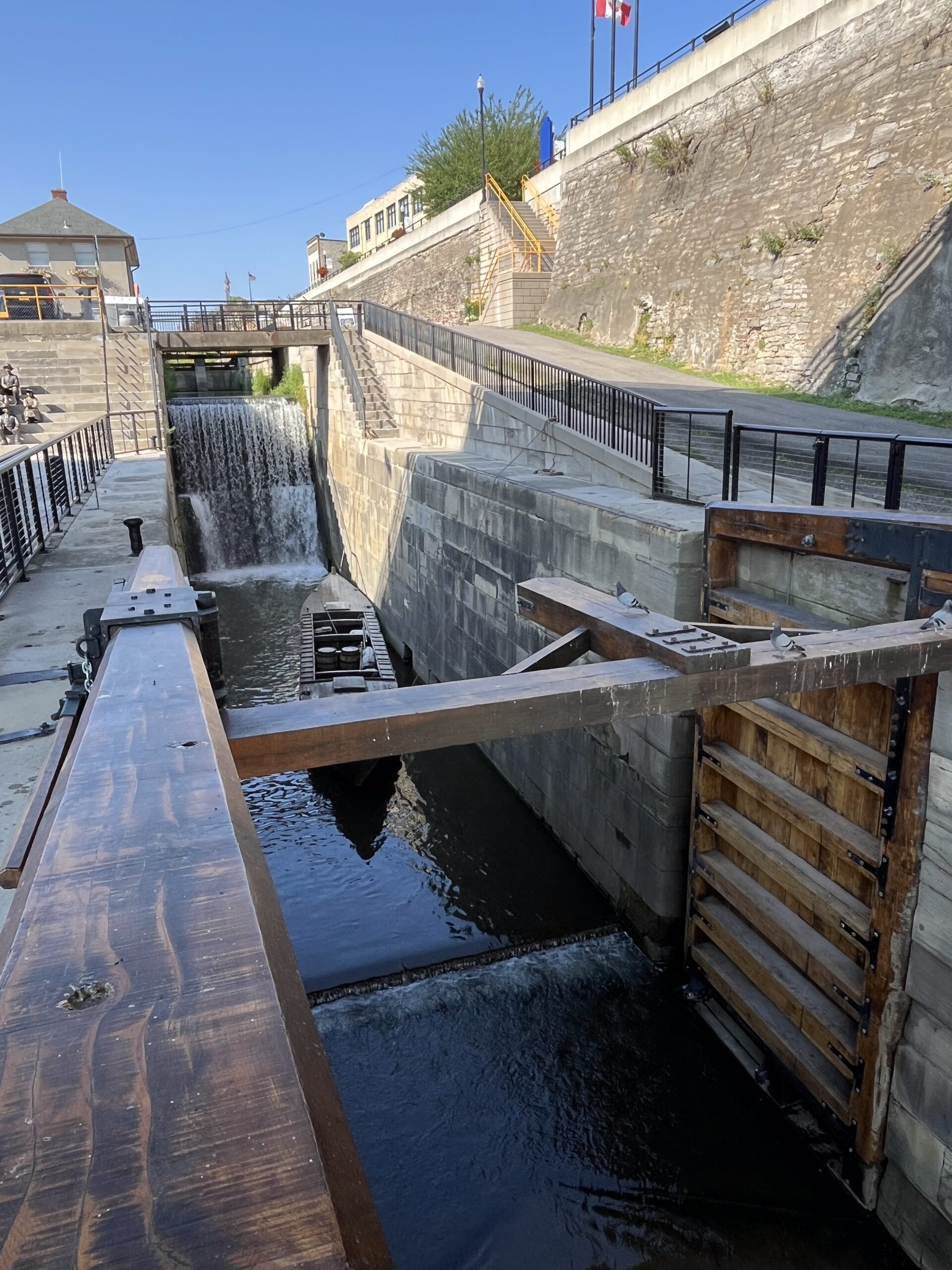
Historic Lock 25 in Rotterdam Junction, the surface of the old canal here covered with duckweed
It really is remarkable, the effort—and money—that obviously goes into maintaining this awesome trail system! What a resource for New York and the rest of the country! At the Amsterdam Castle we were told that about 4,000 bicyclists stay with them each year, and we had great conversations with numerous bikers during the ten-day trip—so clearly the trail brings tourist money into the region, but it’s still a big investment.
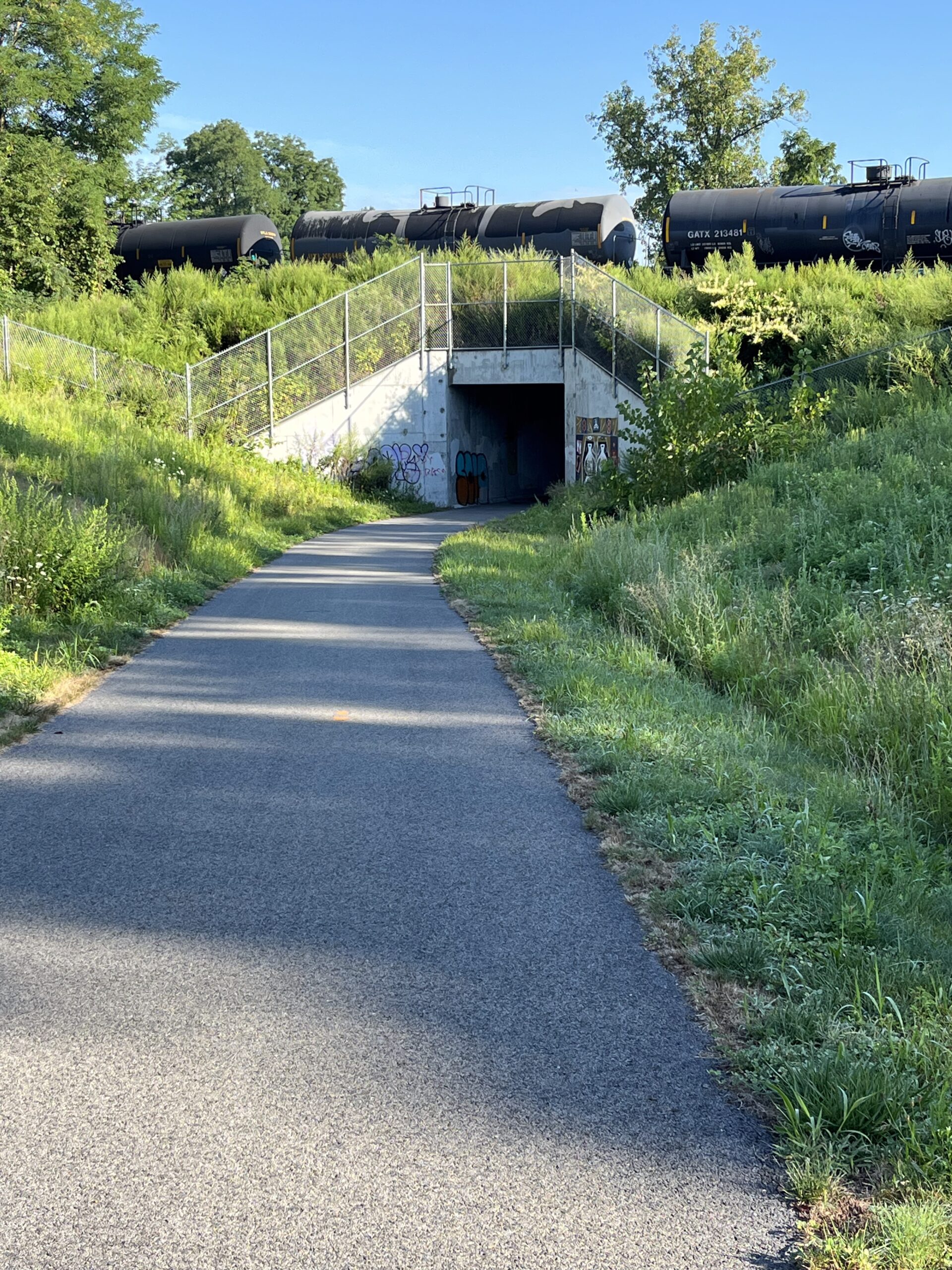
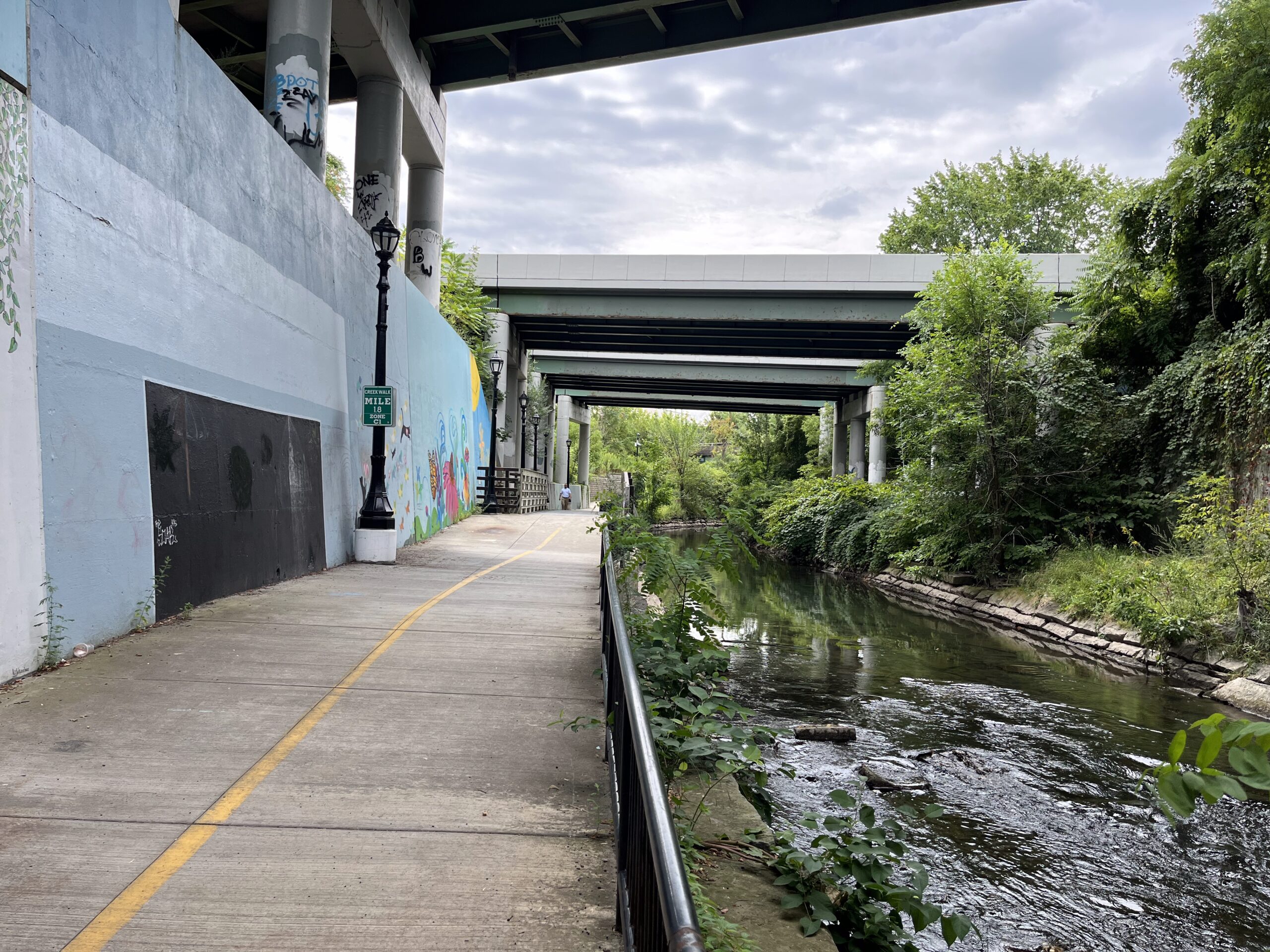
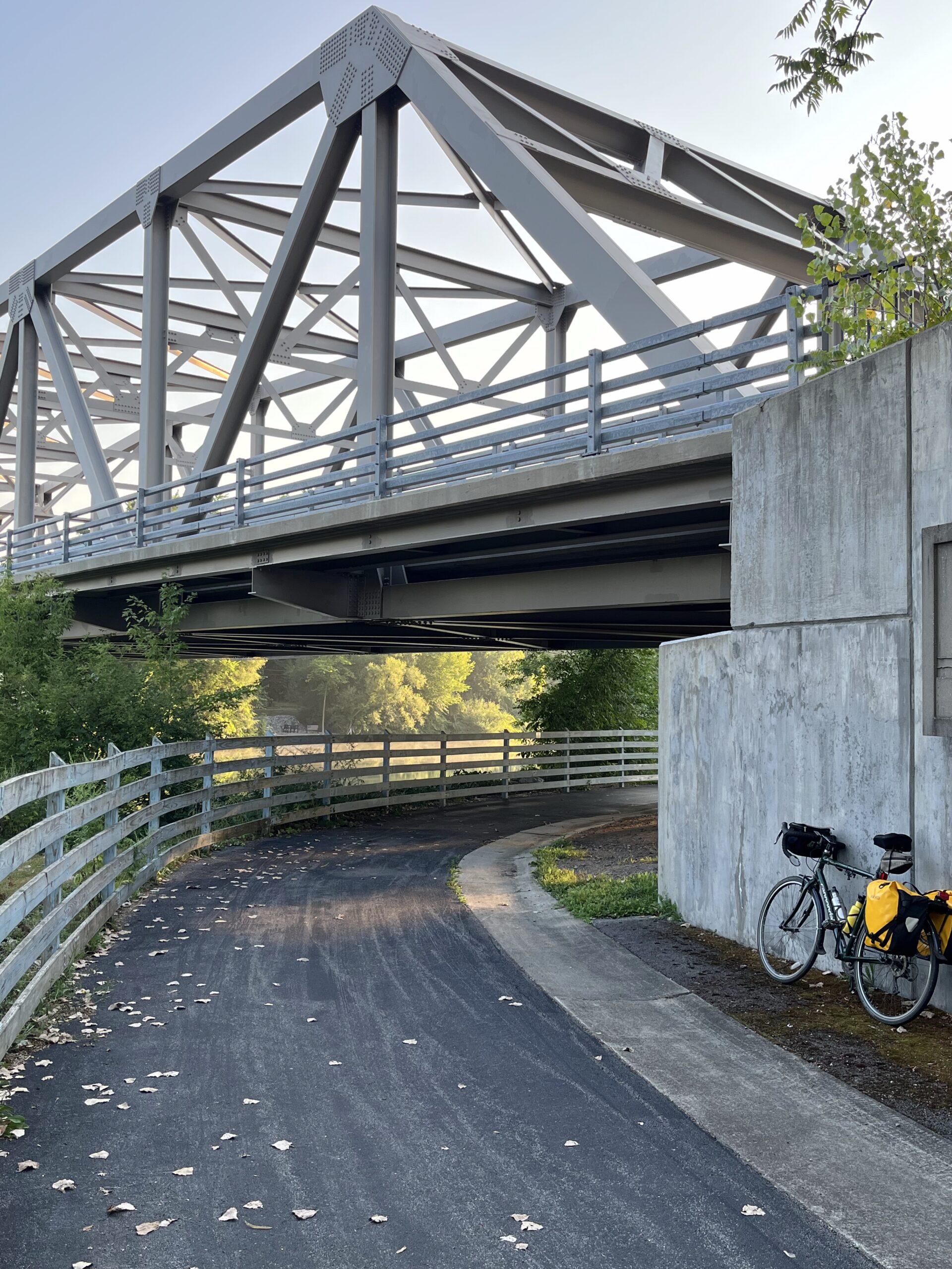
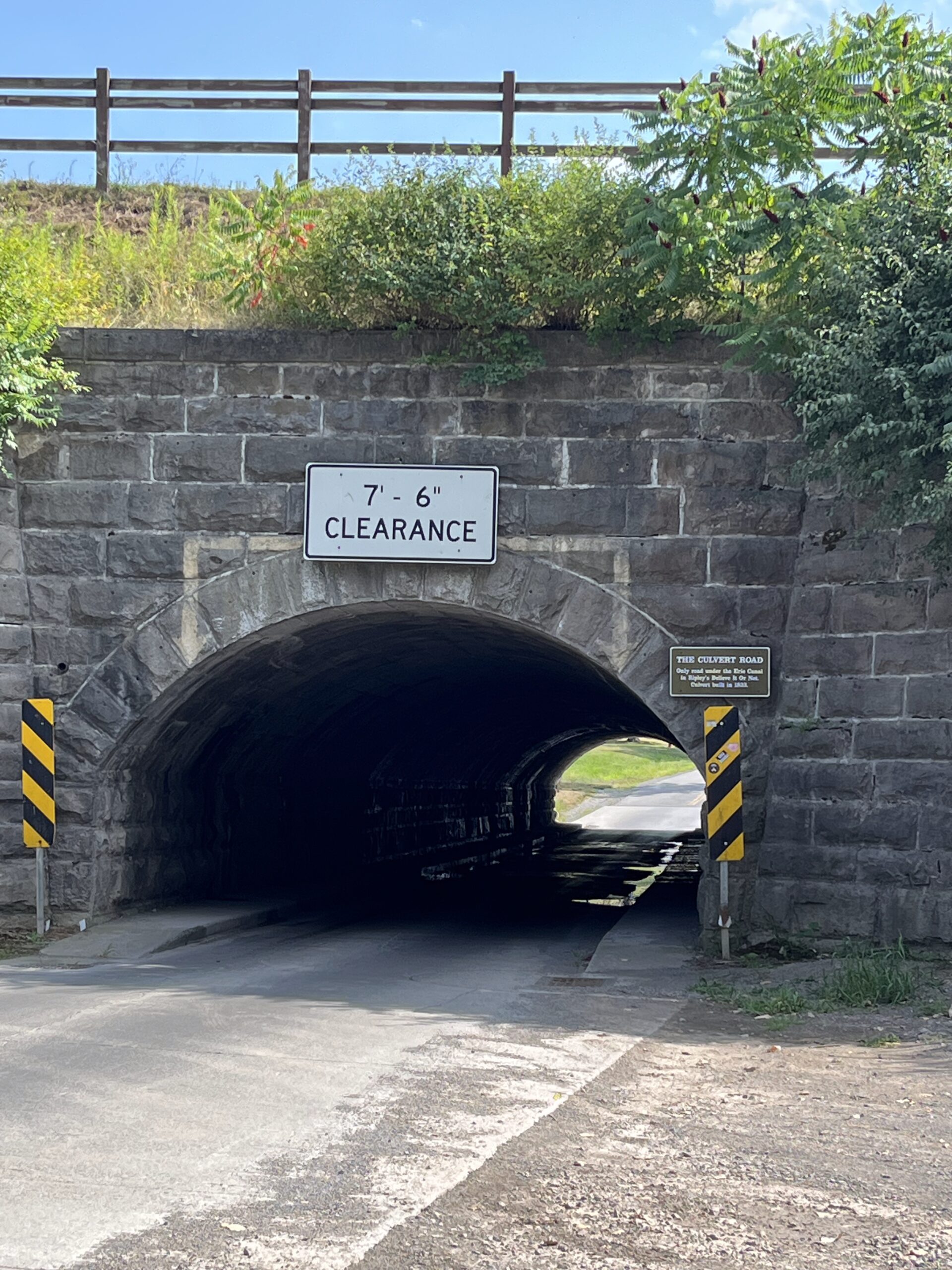
An underpass under railroad tracks somewhere west of Schnectady
Most of the route from Amsterdam to Cohoes was along the Mohawk River. Unlike the day before, most of this ride had the trail between the New York Thruway and the river, affording far nicer scenery than the day before. At one point there was a significant climb (in which I stood up peddling), but it was mercifully short, and I certainly can’t complain about hills on the trail….
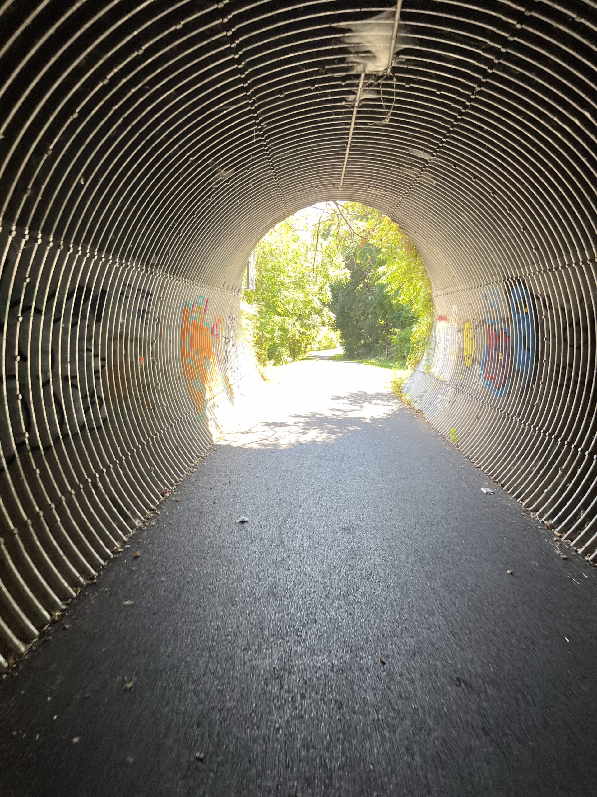
One of a number of underpasses I biked through.
A map of the Mohawk-Hudson Bike-Hike Path, showing its relationship with the Mohawk River.
Schnectady seemed like a place we could spend more time. The coffee shop where I had breakfast and the place Jerelyn spent a couple hours were in the historic section of the city, called The Stockade, and close to Union College which we passed after I picked Jerelyn up later.
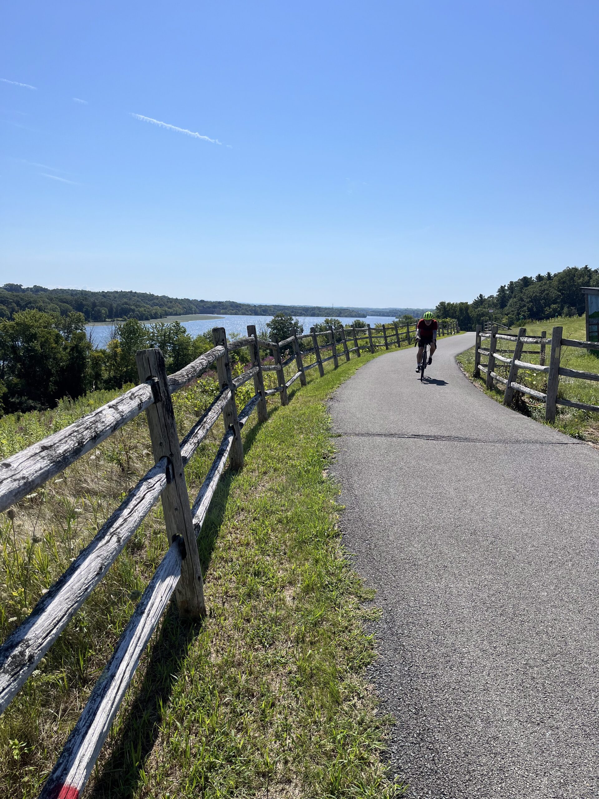
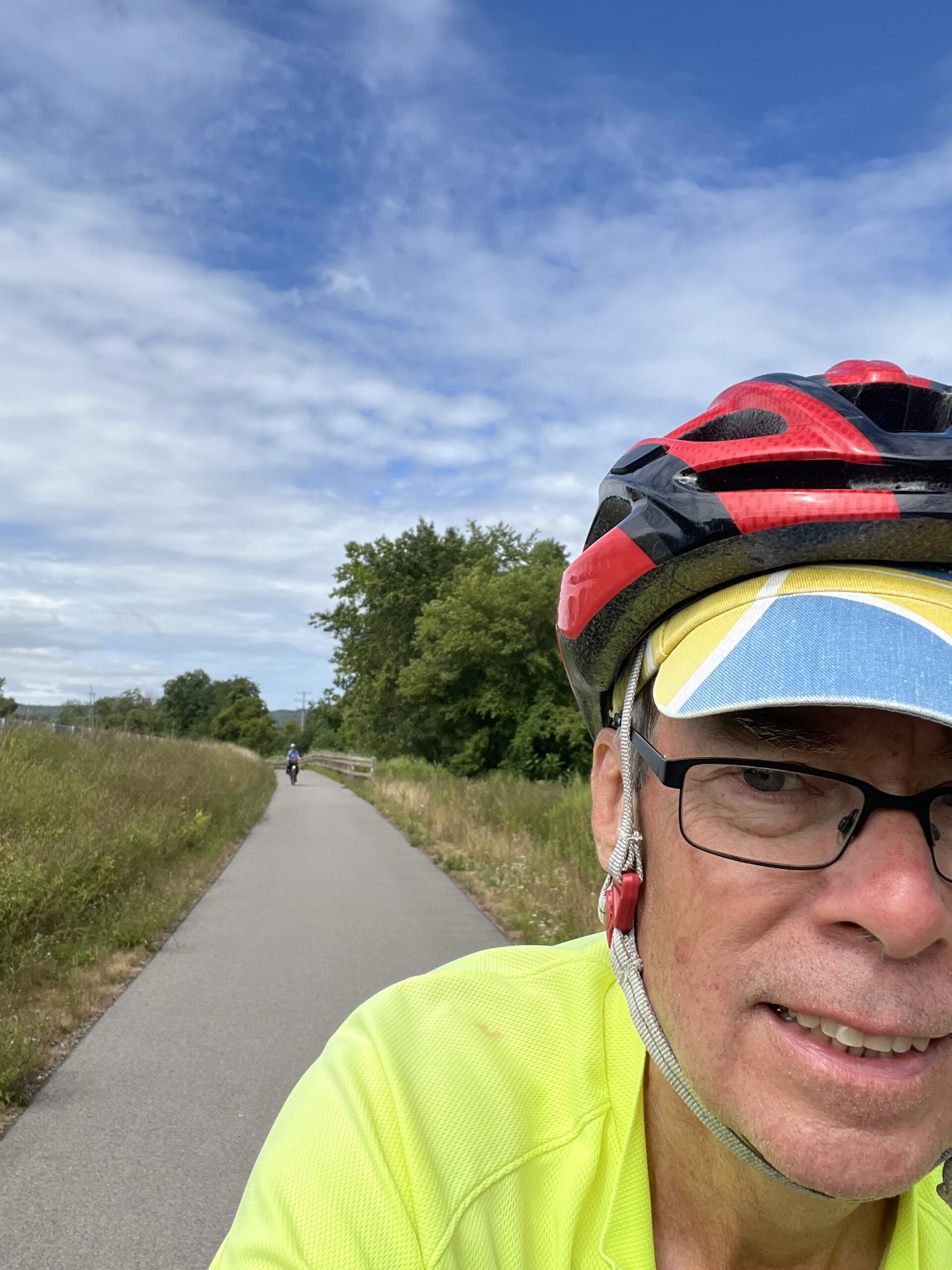
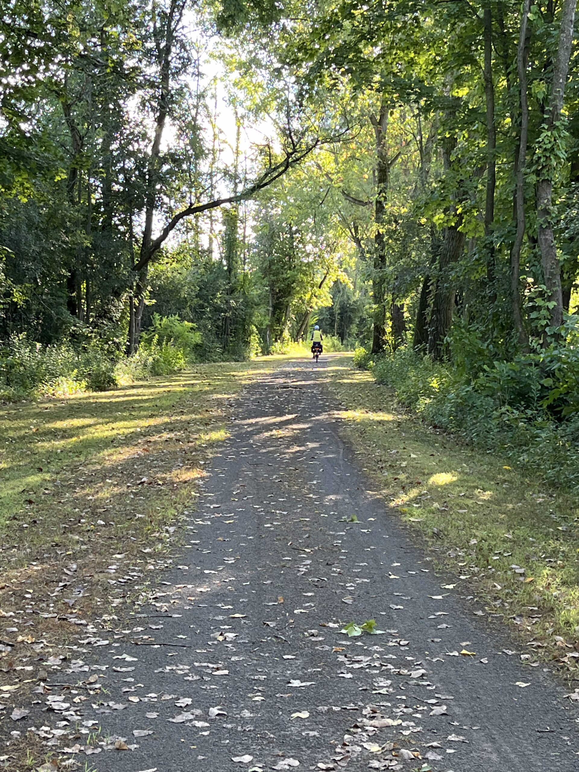
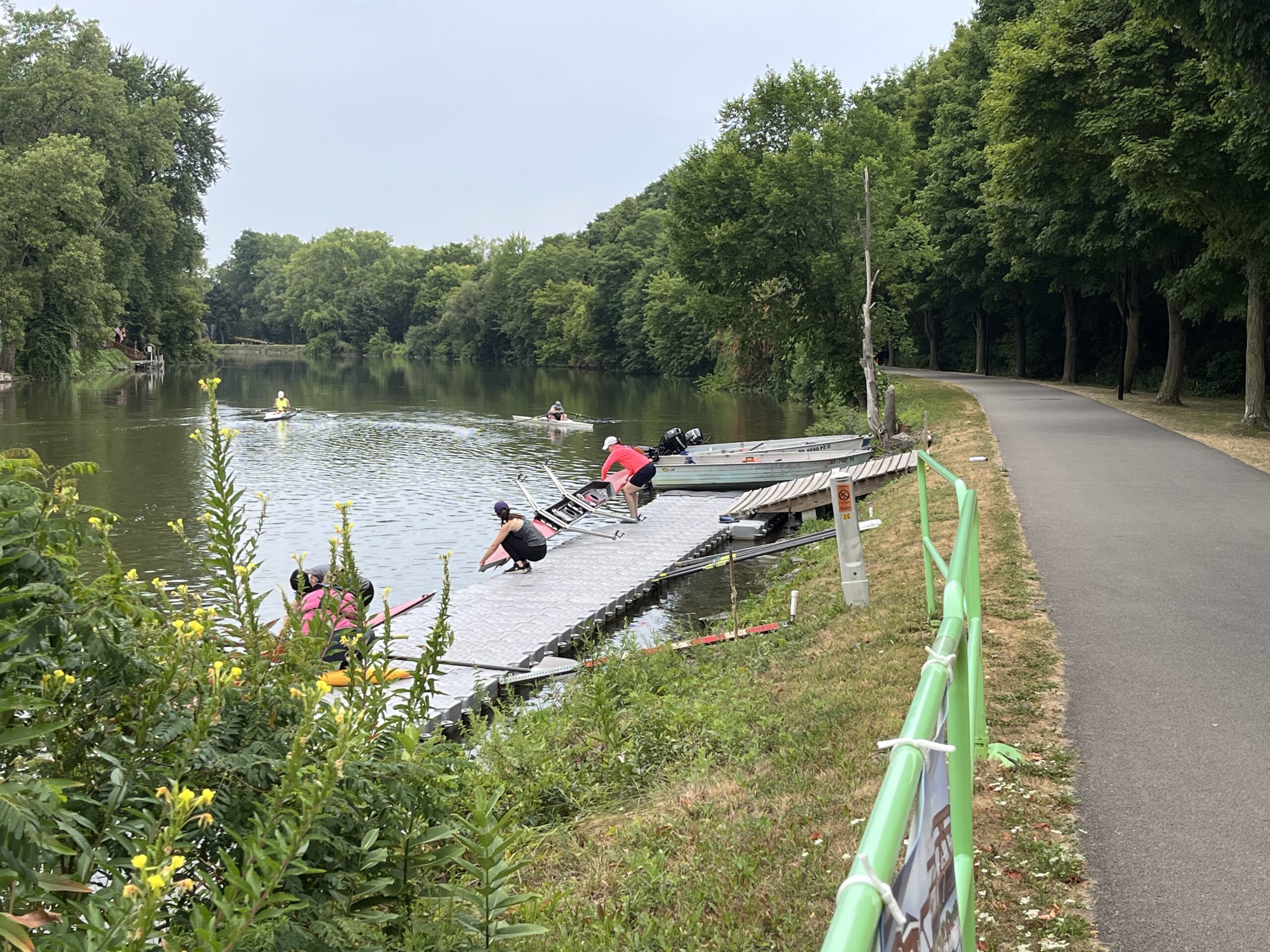
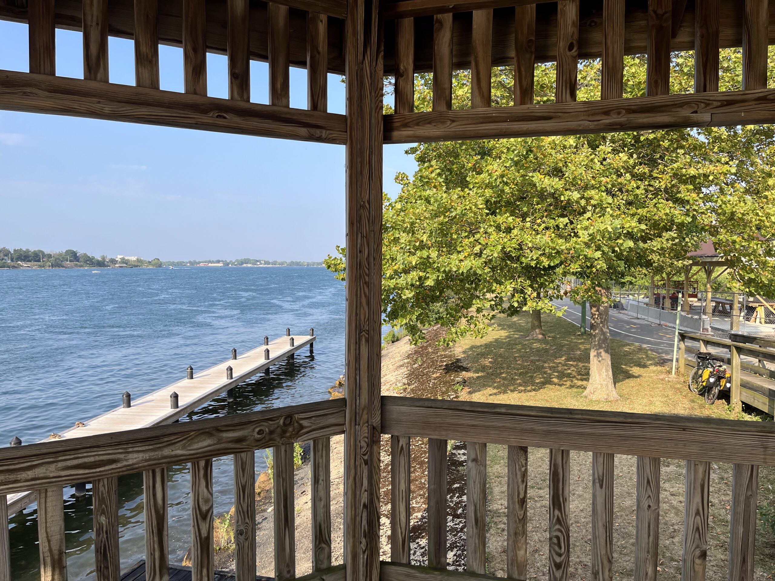
Early in the day, I was largely peddling alone, but as the gorgeous Saturday progressed, there were more and more people out enjoying the trail. That’s the Mohawk River (and Barge Canal) in the distance.
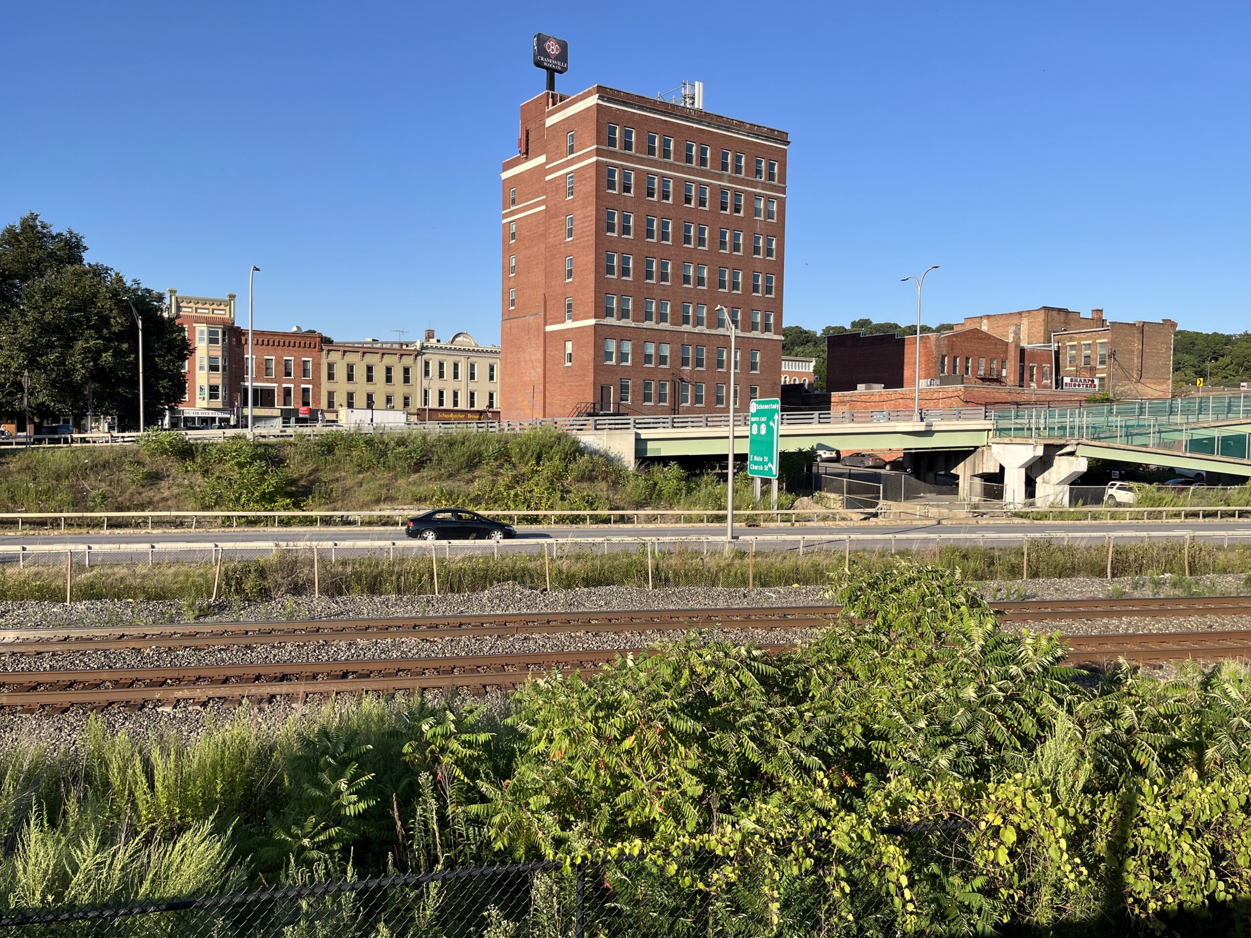
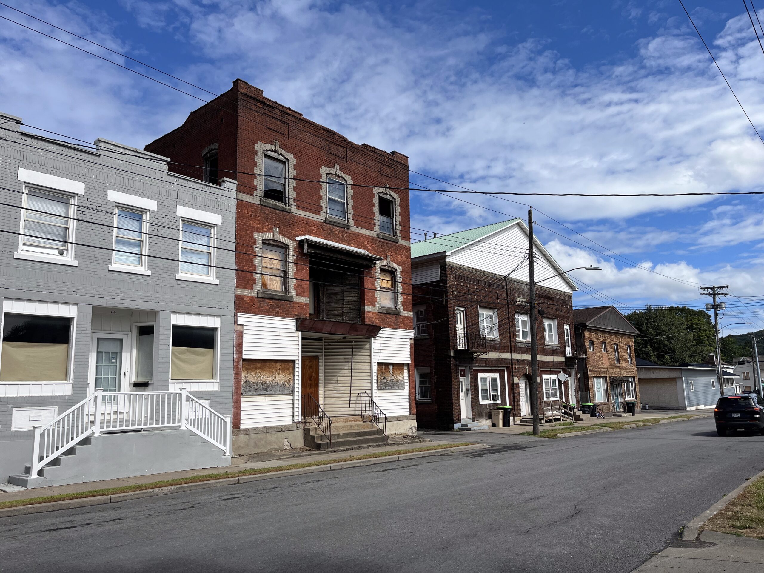
My route through Cohoes and (especially) Troy wasn’t so nice. It was a kind-of depressing, run-down, urban landscape—some on city streets and then on the trail, but right beside I-787. I was very glad to finally cross under 787 and then bike along the Hudson River. For so many years I’ve driven toward Albany and points west on Route 7 through Troy; I biked right under that highway by the cloverleaf where Route 7 crosses the Hudson.
I had been biking along the street in Cohoes or Troy, here, when I noticed that there was a bike path on the other side of the road—in some places actually separated by a median. Much nicer biking!
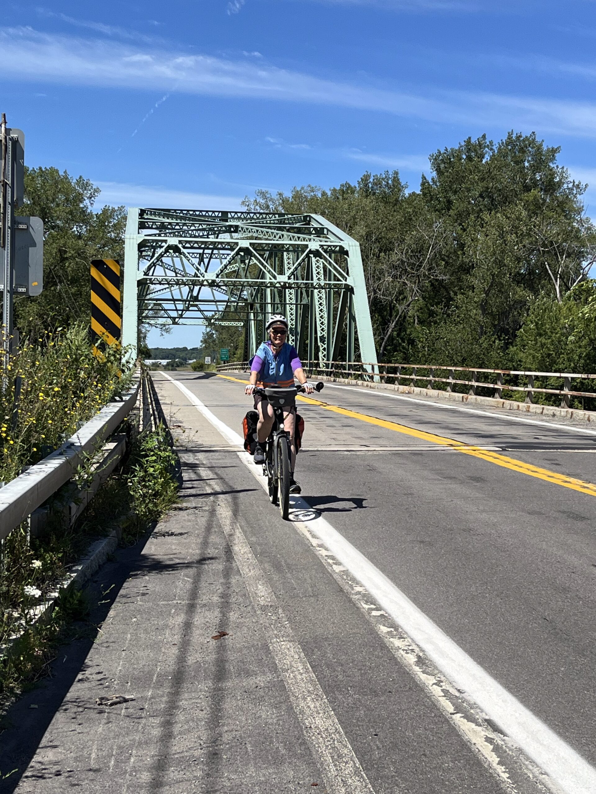
While the trail was nicely paved, you aren’t ever far from highways here. I crossed under I-90 a bit south of Route 7, and then about a mile further south, my route took me over the Dunn Memorial Bridge. That was a little intense, on a narrow shoulder protected by Jersey Barriers (thankfully!). You’re supposed to walk you bike across, but I rode, prepared to get off my bike if someone came the other way and we had to pass each other.
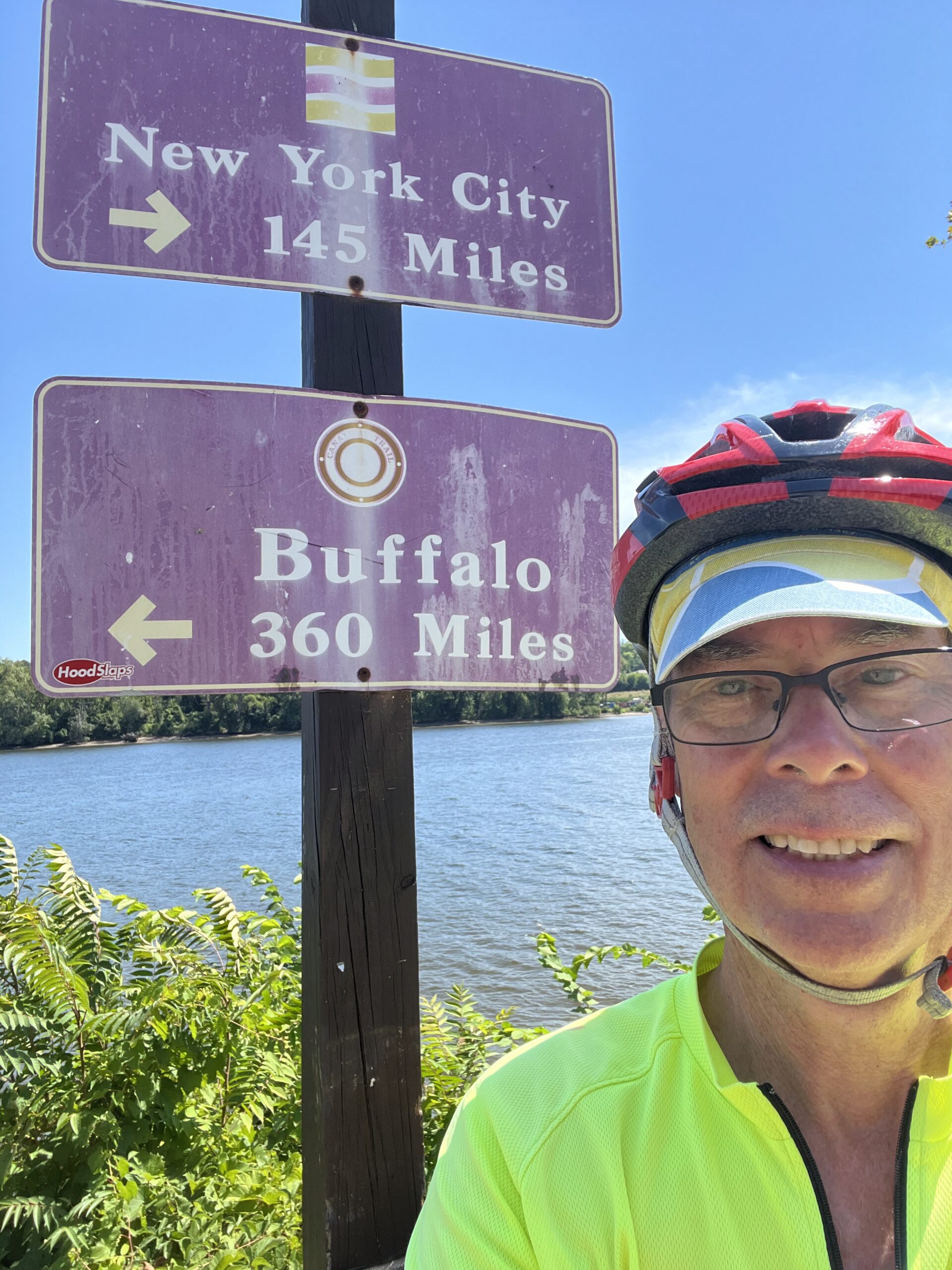
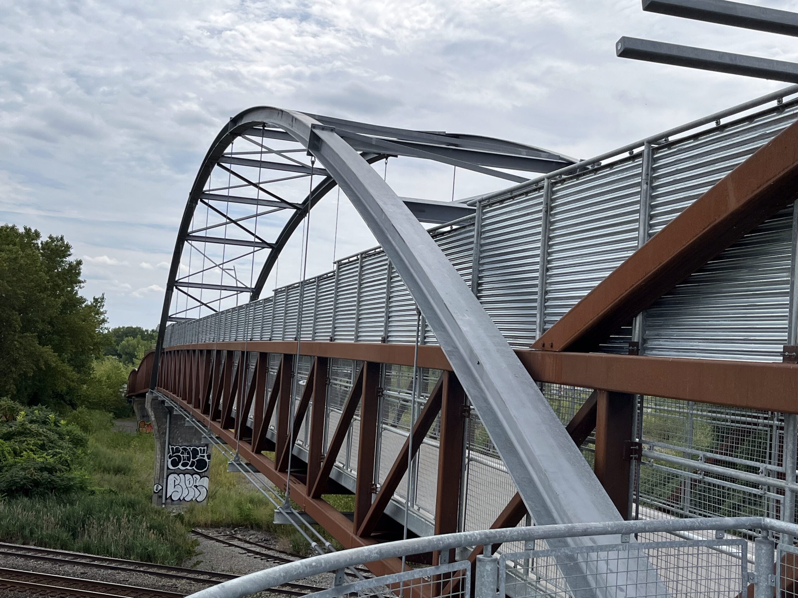
Before crossing the Dunn Memorial Bridge I came to this junction of the east-west portion of the Empire State Trail with the north-south portion.
Crossing the Dunn Memorial Bridge, separated from speeding cars by Jersey barriers.
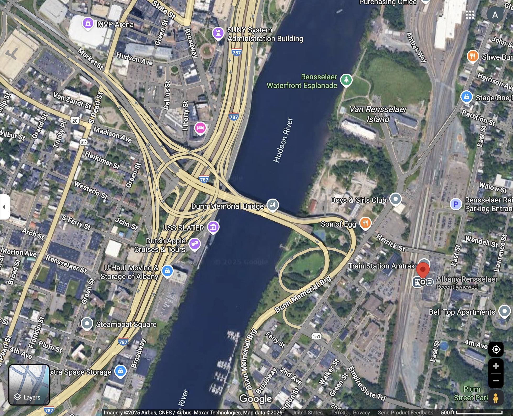
This screen-capture from Google Maps doesn’t have the detail to show the Empire State Trail, but it’s between 787 and the Hudson River; one has to cross over to Rensselaer on the Dunn Memorial Bridge to get to the train station (where the red marker is).
Then a few confusing turns and I was into the Albany-Rensselaer Train Station parking lot—where I nearly had my first accident of the trip! There are gates that cars have to pass through to enter the parking lot (after the gates life). I swerved around one of these gates to enter and hit the curb with my left pedal. I didn’t fall, but I’m sure my pedal has a few new scratches.
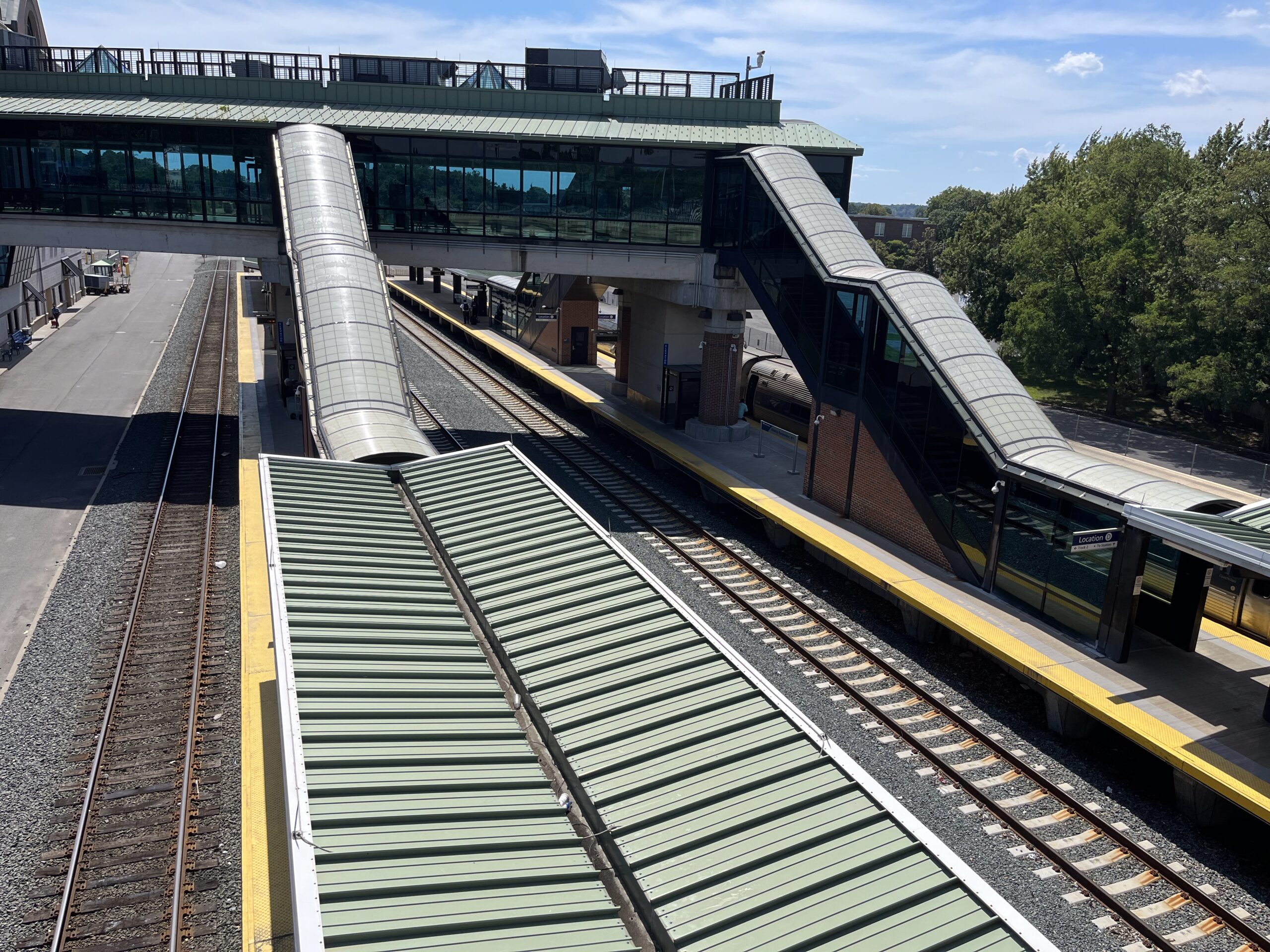
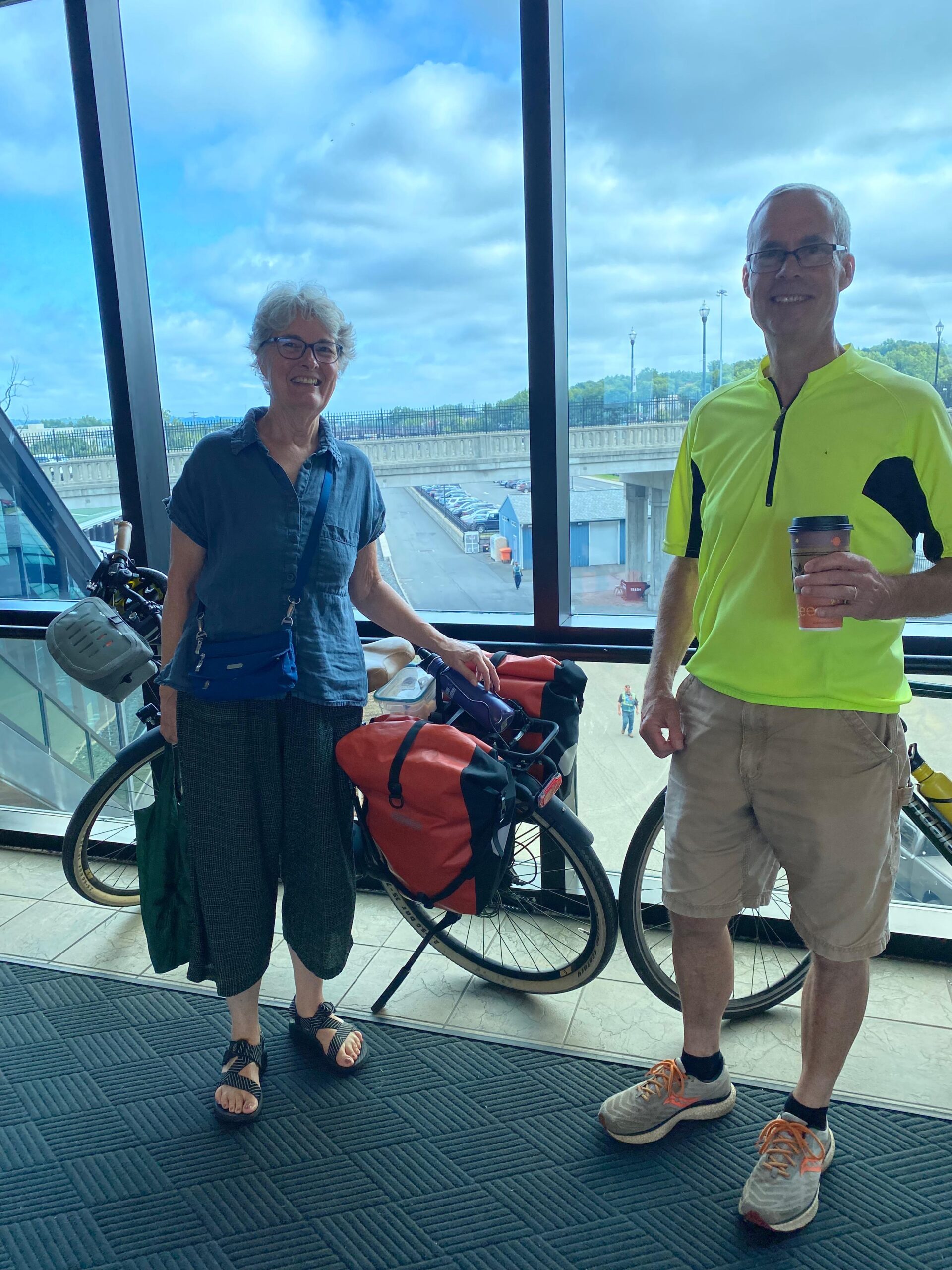
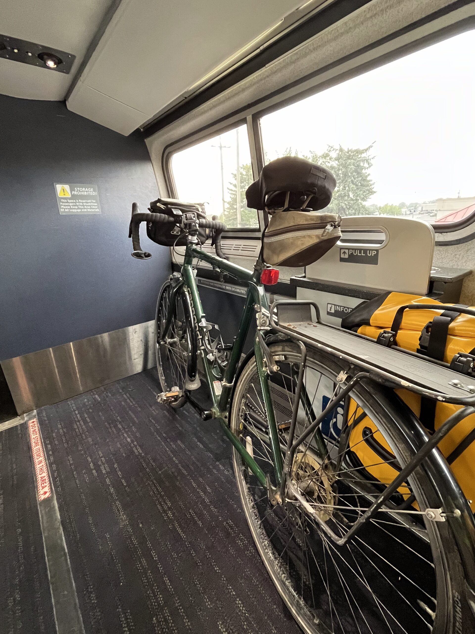
Crossing over the train tracks—where we had boarded with our bikes ten days earlier! What a great trip!
I got to the car around 1:30 pm, 51 miles for the day, found my key and the parking ticket that we had gotten when we entered the parking lot. There is lots of space to park, and the $80 fee for ten days seemed eminently reasonable!
After loading up my bike and gear and changing out of my sweaty biking clothes, I plugged in my phone to get the map up on the screen and headed off to Schnectady to pick up Jerelyn and her bike.
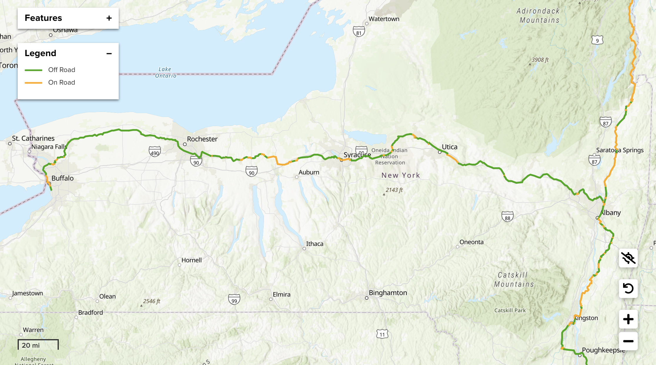
I biked the route from Buffalo to Albany (394 miles, including extra to get to restaurants and motels, plus some detours). Jerelyn joined from just east of Rochester (Pittsford) to Schnectady (a little ways west of Albany)—about 275 miles. Sections in yellow are on traveled roads; sections in green off-road trail, either paved or stone-dust.
What an awesome ride over these past ten days! One could easily do the ride in fewer days—even I could I think—and friends who regularly do “century rides” (100 miles in a day) could knock this off in four days. But I was very glad to take it slow, stopping often to see the sights, check out interesting wildlife (mink, muskrat, great-blue heron, green heron….), and take lots of photos. Thank you to the New York State Department of Parks, Recreation and Historic Preservation, the Northern Border Regional Commission, the New York State Canal Authority, and all the other agencies and funders who make the Empire State Trail possible!